
New Rumley is an unincorporated community in central Rumley Township, Harrison County, Ohio, United States. It is the birthplace of George Armstrong Custer.
Springfield Township is one of the eleven townships of Lucas County, Ohio, United States. As of the 2020 census, the total population was 26,957, making it the third most populous part of Lucas County, behind Toledo and Sylvania Township.
Monclova Township is one of the eleven townships of Lucas County, Ohio, United States. The 2020 census found 14,827 people in the township.

Bascom is a census-designated place in western Hopewell Township, Seneca County, Ohio. It has a post office with the ZIP code 44809 and hosts Hopewell-Loudon High School. The community is located at the intersection of State Routes 18 and 635 east of Fostoria. The population was 397 at the 2020 census.

Amlin is an unincorporated community in southwestern Washington Township, Franklin County, Ohio, United States. It has a post office with the ZIP code 43002.

McCutchenville is a census-designated place (CDP) in northern Wyandot and southern Seneca counties, Ohio, United States. It has a post office with the ZIP code 44844. It lies at the intersection of State Routes 53 and 587. The population was 371 at the 2020 census.

Johnsville, also known as Shauck, is an unincorporated community in northern Perry Township, Morrow County, Ohio, United States. It has a post office with the ZIP code 43349. It is located at the intersection of U.S. Route 42 with State Route 314.

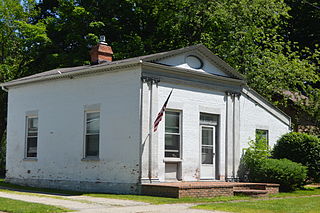
Dola is a census-designated place in central Washington Township, Hardin County, Ohio, United States. As of the 2020 United States Census it had a population of 143. It has a post office with the ZIP code 45835.
Montville is an unincorporated community in central Montville Township, Geauga County, Ohio, United States. It has a post office with the ZIP code 44064. It lies at the intersection of U.S. Route 6 with State Route 528.

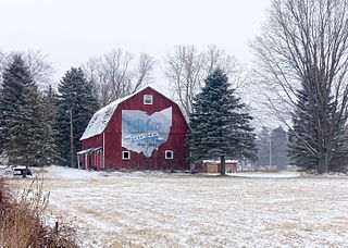
Neapolis is a census-designated place (CDP) in northwestern Providence Township, Lucas County, Ohio, United States. As of the 2020 census it had a population of 497. It has a post office, with the ZIP code of 43547.

Chester is an unincorporated community in central Chester Township, Meigs County, Ohio, United States. It lies along the Shade River at the intersection of State Routes 7 and 248. It has a post office with the ZIP code 45720.

New Springfield is an unincorporated community and census-designated place in southern Springfield Township, Mahoning County, Ohio, United States. The population was 579 at the 2020 census. It is part of the Youngstown–Warren metropolitan area. It lies at the intersection of State Routes 165 and 617.
Greenford is an unincorporated community in central Green Township, Mahoning County, Ohio, United States. The community lies along State Route 165 a short distance north of Salem. It is part of the Youngstown–Warren metropolitan area.

Ellsworth is an unincorporated community in central Ellsworth Township, Ohio, United States. It is part of the Youngstown–Warren metropolitan area. It lies at the intersection of U.S. Route 224 and State Route 45, and has a post office with the ZIP code 44416.

Walhonding is an unincorporated community in northern Newcastle Township, Coshocton County, Ohio, United States. It has a post office with the ZIP code 43843. It lies at the intersection of State Routes 206 and 715.
Blissfield is an unincorporated community in southwestern Clark Township, Coshocton County, Ohio, United States. It has a post office with the ZIP code 43805. It lies along State Route 60 between Warsaw and Killbuck.

Jasper is an unincorporated community in eastern Newton Township, Pike County, Ohio, United States. It has a post office with the ZIP code 45642. It lies at the intersection of State Routes 32, 104, and 124 along the banks of the Scioto River.

Ottawa Lake is an unincorporated community in Monroe County in the U.S. state of Michigan. The community is located within Whiteford Township. As an unincorporated community, Ottawa Lake has no legally defined boundaries or population statistics of its own but does have its own post office with the 49267 ZIP Code.
Unionville is an unincorporated community on the line between northwestern Harpersfield Township in Ashtabula County and eastern Madison Township in Lake County, in the U.S. state of Ohio. It has a post office with the ZIP code 44088. It lies along State Route 84.
Lime City is an unincorporated community in Wood County, Ohio, United States. It is part of Perrysburg Township and located at the intersection of Lime City Road and U.S. Route 20. Lacking a post office, Lime City's zip code falls within Perrysburg's 43551.

