Related Research Articles

U.S. Route 395, also known as U.S. Highway 395, is a north–south United States Numbered Highway that traverses the inland areas of the western states of California, Nevada, Oregon, and Washington. It travels for over 1,300 miles (2,100 km) from a junction in the Mojave Desert at Interstate 15 (I-15) in Hesperia to the Canada–U.S. border near Laurier, Washington. Major cities along its route include Carson City and Reno in Nevada; Kennewick and Pasco in Washington's Tri-Cities region; and Spokane, Washington. US 395 is an auxiliary route of US 95 but never intersects its parent route, which runs further east.

U.S. Route 93 (US 93) is a major north–south 1,359-mile (2,187 km) U.S. Numbered Highway in the western United States, that connects U.S. Route 60 (US 60) in Wickenburg, Arizona, with British Columbia Highway 93 at the Canadian border. The highway passes through Kingman, Arizona; Las Vegas, Nevada; Twin Falls, Idaho; and Missoula, Montana.

U.S. Route 95 (US 95) is a major north–south United States Highway in the western United States. It travels through the states of Arizona, California, Nevada, Oregon, and Idaho, staying inland from the Pacific Coast. US 95 begins in San Luis, Arizona, at the Mexican border, where Calle 1—a short spur—leads to Highway 2 in San Luis Río Colorado, Sonora. Its northern terminus is at the Canadian border in Eastport, Idaho, where the roadway continues north as British Columbia Highway 95.
The Las Vegas Beltway is a 50-mile (80 km) beltway route circling three-quarters of the Las Vegas Valley in southern Nevada. The Las Vegas Beltway carries two numerical designations. 11.1 miles (17.9 km) of the highway, from its southern terminus at Interstate 11 (I-11) / U.S. Route 93 (US 93) / US 95 in Henderson west and northwest to I-15, is signed as Interstate 215 (I-215) and maintained by the Nevada Department of Transportation. Clark County Route 215 (CC 215) composes the remaining approximately 38.9 miles (62.6 km) of this semi-circumferential highway, with the county's Department of Public Works responsible for all construction and maintenance. The beltway is a freeway up to Interstate Highway standards in its entirety.
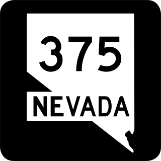
State Route 375 is a 98.414-mile (158.382 km) state highway in Nye and Lincoln counties in south-central Nevada, United States. The highway stretches from State Route 318 at Crystal Springs northwest to U.S. Route 6 at Warm Springs. The route travels through mostly unoccupied desert terrain, with much of its alignment paralleling the northern edges of the Nellis Air Force Range. The road originally traversed through what is now the northern reaches of the air force range in the 1930s, when it was previously designated State Route 25A and later part of State Route 25.
State Route 599 is a 7.049-mile (11.344 km) state highway in Clark County, Nevada. The route follows Rancho Drive, a major arterial connecting downtown Las Vegas to the northwest part of the city. Much of SR 599 was previously designated as U.S. Route 95 prior to completion of the Las Vegas Expressway. The route is also designated as U.S. Route 95 Business.
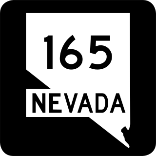
State Route 165 is a state highway near the southern end of the U.S. state of Nevada. The road connects the town of Nelson to U.S. Route 95. The road originated in the 1940s and was one section of former State Route 60 until the 1970s.

State Route 140 is a two-lane state highway in Humboldt County, Nevada. It serves a sparsely populated section of the state, connecting northwestern Nevada to southern Oregon. Most of the highway was originally part of State Route 8A, and was later improved through an effort to provide an all-weather highway linking northern Nevada to the Pacific Northwest.

State Route 160 is a state highway in southern Nevada, United States. It connects the southern Las Vegas Valley to U.S. Route 95 northwest of the city via the Pahrump Valley. The southern part of the route sees heavy traffic, mostly due to Pahrump's continued growth as a Las Vegas bedroom community.
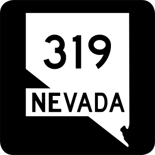
State Route 319 is a state highway in Lincoln County, Nevada. The route connects the town of Panaca to Modena, Utah. SR 319 has been part of the state highway system since at least 1932, and was part of the longer State Route 25 prior to the late 1970s.

State Route 338 is a state highway in Lyon County, Nevada, United States. It connects the towns of Smith and Wellington to the California state line north of Bridgeport, California. Much of the route has served as a road through this section of Nevada since at least 1919, and was known as State Route 22 from the 1920s until the late 1970s.

State Route 361, Gabbs Valley Road, is a 62.853-mile (101.152 km) state highway in Mineral, Nye, and Churchill counties in Nevada, United States. The highway serves the town of Gabbs following Gabbs Valley Road through the extreme northwestern tip of Nye County. Gabbs is isolated from the rest of the county, requiring travel on SR 361 through other counties in order to reach any other major town in Nye County. SR 361 was previously known as State Route 23.

State Route 373 is a 16.304-mile-long (26.239 km) state highway in Nye County, Nevada, United States. It is a highway connecting California State Route 127 to U.S. Route 95, providing southern Nye County access to the eastern areas of Death Valley National Park.

State Route 374 is a state highway in Nye County, Nevada, United States. It serves as Nevada's gateway to Death Valley National Park, connecting the park to Beatty. The highway was known as State Route 58 prior to 1976.

State Route 379 covers Duckwater Road, a 19.532-mile (31.434 km) state highway in Nye County, Nevada, United States. The route serves the Duckwater Indian Reservation, connecting the community of Duckwater to U.S. Route 6 at Currant. The highway was formerly a part of State Route 20 prior to the 1970s.

State Route 34 is a decommissioned state highway in Nevada from prior to the state's highway restructuring in 1978. Today a portion of former SR 34 is maintained by the Washoe County as a county highway with the not well known designation CR 34. A portion of State Route 447 was formerly SR 34, though the former SR 34 road bed is still used from Gerlach, Nevada to near Vya, Nevada.
U.S. Route 95 is a major U.S. highway traversing the U.S. state of Nevada from north to south directly through Las Vegas and providing connections to both Carson City and Reno. US 95 is cosigned with Interstate 80 for 95 miles (153 km) between a junction in Trinity and Winnemucca before heading north into Oregon at McDermitt. At 646.71 miles (1,040.78 km), it is the longest highway in Nevada.
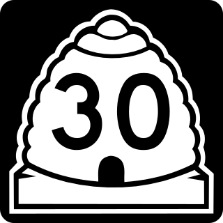
State Route 30 (SR-30) is a state highway in the U.S. state of Utah. It is the only highway signed as a Utah state route to traverse the entire width of the state. The legal definition of the highway has 3 separate segments. With implied connections via Interstate 84 and U.S. Route 89, the highway is drivable as a continuous route from Nevada to Wyoming. The western segment is a historic corridor paralleling the pre-Lucin Cutoff routing of the First transcontinental railroad. A portion of the eastern segment has been designated the Bear Lake Scenic Byway as part of the Utah Scenic Byways program. The route was created in 1966 by combining several state highways into a single designation.

State Route 795 is a short state highway in southern Humboldt County, Nevada, United States. One of Nevada's newest state routes, SR 795 primarily serves as a connector road north of Winnemucca.
References
- ↑ "Official road map of the state of Nevada (1941)" . Retrieved 2007-12-30.
- 1 2 "Nevada's State Maintained Highways, Descriptions, Index and Maps" (PDF). Archived from the original (PDF) on 2009-11-09. Retrieved 2007-12-30. p119, p123

| | This Nevada road-related article is a stub. You can help Wikipedia by expanding it. |