
U.S. Route 401 (US 401) is a north–south United States highway, a spur of U.S. Route 1, that travels along the Fall Line from Sumter, South Carolina to Interstate 85 near Wise, North Carolina.

U.S. Route 117 (US 117) is a north-south United States Highway located completely within the state of North Carolina. A spur route of US 17, the highway runs for 114 miles (183 km) from the Port of Wilmington, south of downtown Wilmington, to US 301 near Wilson. From its southern terminus, US 117 runs along Shipyard Boulevard and College Road, concurrent with North Carolina Highway 132 (NC 132) through Wilmington. US 117 intersects the eastern terminus of Interstate 40 (I-40) and parallels the interstate until reaching Faison, passing through Burgaw, Wallace, and Warsaw. The highway diverges from I-40 in Faison, running north-northeast through Mount Olive, Goldsboro, and Pikeville to its northern terminus. US 117 meets the southern end of I-795 in Goldsboro, and parallels that route before reaching its northern terminus at US 301 south of Wilson.

U.S. Route 321 (US 321) is a spur of U.S. Route 21. It runs for 516.9 miles (831.9 km) from Hardeeville, South Carolina to Lenoir City, Tennessee; with both serving as southern termini. It reaches its northernmost point at Elizabethton, Tennessee, just northeast of Johnson City. Because of its unusual "north–south–north" routing, U.S. Route 321 intersects both Interstate 40 and U.S. Route 70 three separate times. The highway serves different roles in each state: An alternate route to interstates in South Carolina, a major highway in North Carolina, and a scenic route in Tennessee.
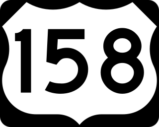
U.S. Route 158 (US 158) is an east–west United States highway that runs for 350 miles (560 km) from Mocksville to Whalebone Junction in Nags Head, entirely in the state of North Carolina. It is also a critical route that connects the cities of Winston-Salem, Summerfield, and Reidsville with one another.
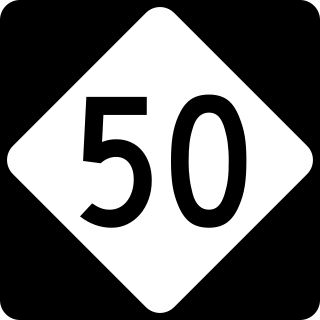
North Carolina Highway 50 (NC 50) is a primary state highway in the U.S. state of North Carolina. It goes from Topsail Beach in the south to Creedmoor in the north, connecting the cities of Warsaw, Newton Grove, Benson, and Raleigh.

North Carolina Highway 18 (NC 18) is a primary state highway in the U.S. state of North Carolina. Traveling north–south through the Foothills region, it connects the cities of Shelby, Morganton, Lenoir, Wilkesboro and North Wilkesboro.

North Carolina Highway 96 (NC 96) is a 112-mile-long (180 km) primary state highway in the U.S. state of North Carolina. It is a predominantly rural highway that travels north-south, from NC 55, west of Newton Grove, to the Virginia state line near Virgilina, Virginia, where it continues on as Virginia State Route 96. It also connects the cities of Smithfield, Selma, Zebulon, Youngsville and Oxford.

North Carolina Highway 87 (NC 87) is a primary state highway in the U.S. state of North Carolina. NC 87 begins in the Atlantic coastal town of Southport and crosses into Virginia at the Virginia state line five miles (8 km) north of Eden in Rockingham County. At 240 miles (390 km) in length, NC 87 is the second longest state highway in the U.S. state of North Carolina with only North Carolina Highway 24 being longer. Labeled as a north–south route, NC 87 travels along a relatively straight southeast–northwest path, connecting Cape Fear region with the Piedmont. It is also the main north-south route connecting the cities of Fayetteville, Sanford, Burlington and Reidsville.

North Carolina Highway 109 (NC 109) is a north–south state highway in North Carolina. It primarily connects small towns in the central Piedmont region of the state. The 117-mile (188 km) route is a two-lane road for most of its length, but the segment between Winston-Salem and Thomasville is being upgraded to a divided 4-lane highway, as it is a major route between the two cities. The central segment of NC 109 passes through the Uwharrie Mountains and the Uwharrie National Forest.
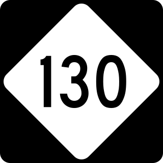
North Carolina Highway 130 (NC 130) is a primary state highway in the U.S. state of North Carolina. The highway serves the towns and rural communities in southern Robeson County, acts as a direct route between Whiteville and Shallotte through the Green Swamp, and provides access to Holden Beach.

A total of at least 31 special routes of U.S. Route 17 (US 17) exist: 3 in Florida, 5 in South Carolina, 17 in North Carolina, and 6 in Virginia.
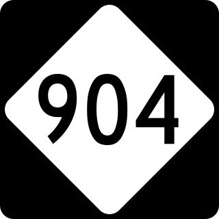
North Carolina Highway 904 (NC 904) is a primary state highway in the U.S. state of North Carolina. The highway parallels the North Carolina-South Carolina border as it connects Fair Bluff, Tabor City, Sunset Beach, and Ocean Isle Beach.
U.S. Highway 17 (US 17) in the U.S. state of North Carolina is a north–south highway that is known as the Coastal Highway in the southeastern half of the state and the Ocean Highway in other areas. The route enters the state from South Carolina near Calabash and leaves in the vicinity of the Great Dismal Swamp National Wildlife Refuge in Virginia. Between the US 64 freeway and the Virginia state line, US 17 is a four-lane divided highway with speed limits varying between 45 mph (72 km/h) and 70 mph (110 km/h).

North Carolina Highway 306 (NC 306) is a primary state highway in the U.S. state of North Carolina. The highway provides a link between Havelock, Minnesott Beach, and Grantsboro. The route is primarily rural, and uses two free ferries to cross the Neuse and Pamlico Rivers before reaching NC 92/NC 99 near Gaylord.

U.S. Highway 76 (US 76) is a U.S. Highway running from Chattanooga, Tennessee to Wrightsville Beach, North Carolina. In North Carolina the highway runs for 80.4 miles (129.4 km) in the southeastern region of the state. US 76 enters the state from South Carolina south of Fair Bluff in Columbus County. Travelling in an eastward direction, US 76 meets US 74 in Chadbourn. The two highways run concurrently for 50.4 miles (81.1 km) between Chadbourn and Wilmington. US 76 runs concurrently with US 17 along much of its Wilmington routing, until once again meeting US 74. US 76 and US 74 run concurrently for 1.4 miles (2.3 km) until reaching Wrightsville Beach. US 76 reaches its eastern terminus on the south side of Wrightsville Beach, at an intersection with Water Street.

U.S. Route 441 (US 441) is a north–south United States Highway that runs from Miami, Florida to Rocky Top, Tennessee. In the U.S. state of North Carolina, US 441 travels for 64.5 miles (103.8 km) from the Georgia state line near Dillard, Georgia to the Tennessee state line in the Great Smoky Mountains National Park. US 441 is a primary route connecting the cities of Franklin, Sylva, and Cherokee in western North Carolina. The highway runs concurrently with other U.S. highways for much of its routing in North Carolina including US 23 from the Georgia state line to Dillsboro, US 64 in Franklin, US 74 from Dillsboro to near Qualla, and US 19 in Cherokee. US 441 has two business routes in North Carolina, in Franklin and Cherokee.

South Carolina Highway 179 (SC 179) is a 0.670-mile-long (1.078 km) primary state highway in the U.S. state of South Carolina. It travels from Little River to the North Carolina state line, near Calabash.
North Carolina Highway 133 (NC 133) is a primary state highway in the U.S. state of North Carolina. It traverses 46.6 miles (75.0 km) from Oak Island Drive in Oak Island to NC 210 in Bells Crossroads. The route serves communities such as Southport, Belville, Leland, Wilmington, and Castle Hayne. Additionally, NC 133 serves as an entry point for Military Ocean Terminal Sunny Point located to its east. Much of NC 133 runs parallel to the Cape Fear River and Brunswick River between Southport and Belville. West of Wilmington, NC 133 runs concurrently with U.S. Route 17 (US 17), US 74, and US 76. The road follows another concurrency along US 74 and US 421, west of Downtown Wilmington, and crosses into New Hanover County on the Isabel Holmes Bridge. North of Wilmington, NC 133 exits to the north, serving several suburban communities north of Wilmington. NC 133 runs concurrently with US 117 through Castle Hayne, before bearing northwest toward Bells Crossroads.

North Carolina Highway 410 (NC 410) is a primary state highway in the U.S. state of North Carolina. It serves as the central north–south highway in Columbus and Bladen Counties.

North Carolina Highway 906 (NC 906) is a primary state highway in the U.S. state of North Carolina. It serves as an access and evacuation route for Oak Island.

