Palestine Township, Cooper County, Missouri

Last updated

Palestine Township
Map highlighting Palestine Township, Cooper County, Missouri.svg
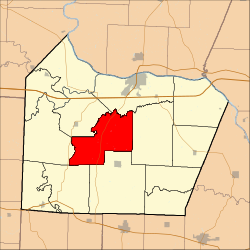
Location in Cooper County
Coordinates: 38°51′16″N92°50′31″W / 38.85444°N 92.84194°W / 38.85444; -92.84194
Country Flag of the United States (23px).png  United States
State Flag of Missouri.svg Missouri
County Cooper
Area
  Total
44.97 sq mi (116.48 km2)
  Land44.92 sq mi (116.34 km2)
  Water0.058 sq mi (0.15 km2)  0.13%
Elevation
745 ft (227 m)
Population
 (2000)
  Total
367
  Density8.3/sq mi (3.2/km2)
Time zone UTC-6 (CST)
  Summer (DST) UTC-5 (CDT)
ZIP codes
65233, 65237, 65276
GNIS feature ID 0766535

Palestine Township is one of fourteen townships in Cooper County, Missouri, USA. As of the 2000 census, its population was 367. [1]

Contents

Geography

According to the United States Census Bureau, Palestine Township covers an area of 44.97 square miles (116.48 square kilometers); of this, 44.92 square miles (116.34 square kilometers, 99.88 percent) is land and 0.06 square miles (0.15 square kilometers, 0.13 percent) is water.

Unincorporated towns

(This list is based on USGS data and may include former settlements.)

Adjacent townships

Cemeteries

The township contains these three cemeteries: Briscoe, Concord and Concord.

Major highways

School districts

Political districts

References

  1. "U.S. Census website" . Retrieved May 13, 2009.