Saline Township | |
|---|---|
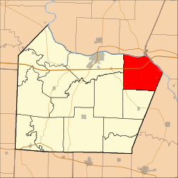 Location in Cooper County | |
| Coordinates: 38°54′22″N92°34′22″W / 38.90611°N 92.57278°W | |
| Country | |
| State | |
| County | Cooper |
| Area | |
• Total | 47.94 sq mi (124.16 km2) |
| • Land | 46.71 sq mi (120.98 km2) |
| • Water | 1.23 sq mi (3.18 km2) 2.56% |
| Elevation | 581 ft (177 m) |
| Population | |
• Total | 840 |
| • Density | 18/sq mi (7/km2) |
| Time zone | UTC-6 (CST) |
| • Summer (DST) | UTC-5 (CDT) |
| ZIP codes | 65068, 65233, 65287 |
| GNIS feature ID | 0766538 |
Saline Township is one of fourteen townships in Cooper County, Missouri, USA. As of the 2000 census, its population was 687. [1]
Contents
- Geography
- Cities, towns, villages
- Unincorporated towns
- Adjacent townships
- Major highways
- School districts
- Political districts
- References
- External links
Saline Township most likely takes its name from Petite Saline Creek. [2]
