Pambujan, officially the Municipality of Pambujan, is a 4th classmunicipality in the province of Northern Samar, Philippines. According to the 2015 census, it has a population of 33,062 people.[3]
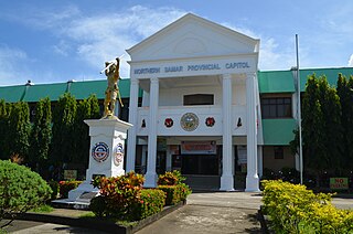
Northern Samar is a province in the Philippines located in the Eastern Visayas region. Its capital is Catarman and is located at the northern portion of the island of Samar. Bordering the province to the south are the provinces of Samar and Eastern Samar. To the northwest, across the San Bernardino Strait is Sorsogon; to the east is the Philippine Sea and to the west is Samar Sea.
The Philippines, officially the Republic of the Philippines, is an archipelagic country in Southeast Asia. Situated in the western Pacific Ocean, it consists of about 7,641 islands that are categorized broadly under three main geographical divisions from north to south: Luzon, Visayas, and Mindanao. The capital city of the Philippines is Manila and the most populous city is Quezon City, both part of Metro Manila. Bounded by the South China Sea on the west, the Philippine Sea on the east and the Celebes Sea on the southwest, the Philippines shares maritime borders with Taiwan to the north, Vietnam to the west, Palau to the east, and Malaysia and Indonesia to the south.
It is a coastal town with an area of 18,650 hectares. It is a town with notable qualities and resources. It boasts a 16th-century Roman Catholic church, a scenic islet named Caohagan, baseball players who won international tournaments, professionals and achievers, a socio-cultural activity held every first full moon of the year (known as Kadayaw Festival), and a sports arena which has been the venue for various municipal, provincial and regional sports gatherings.
The municipality has a number of daycare centers in each barangay, two private and one public preparatory schools, a number of primary and elementary schools and two secondary schools. It is accessible to Region VIII’s premiere state university- the University of Eastern Philippines- as well as other private colleges in Catarman, the capital town of Northern Samar.
It has earned provincial and regional citations as Child-Friendly municipality.
Pambujan is in the heart of the second district of Northern Samar.
Geography
Pambujan has a contiguous territory of 16,390 hectares (40,500 acres), which extends into the hinterlands of Northern Samar across a number of rivers, lakes, brooks and mountains. The most notable of these physical features is Mount Cagbigajo, which once served as an observation and listening post of the Allied Intelligence Bureau Operative (1934–44) during World War II.
Pambujan town is then situated in what is now Barangay Ginulgan. Back then, the town consisted of 22 barrios covering an area of 670 square kilometers which stretched out to more than 402 kilometers span towards its western border (Samar Province).
Barangays
Pambujan is politically subdivided into 26 barangays.
A barangay or baranggay, formerly referred to as barrio, is the smallest administrative division in the Philippines and is the native Filipino term for a village, district or ward. In metropolitan areas, the term often refers to an inner city neighbourhood, a suburb or a suburban neighborhood. The word barangay originated from balangay, a kind of boat used by a group of Austronesian peoples when they migrated to the Philippines.
Poblacion or población is the common term used for the central, downtown, old town or central business district area of a Philippine city or municipality, which may take up the area of a single barangay or multiple barangays. It is sometimes shortened to Pob.
History
The name Pambujan has historically developed from the term “pambubohan” which means a place in which crabs are abundant and crabbing or catching crabs is prevalent. It originates from the ninorte-waraynon word “bubo,” which refers to “bamboo crab pots” or traditional crabbing devices used to catch said crustaceans. Real and factual story of the past traced it ages before the rediscovery of the Philippines by Fernando de Magallanes on March 16, 1521, who on this date saw the heights of Samar Island and was surprised to see that its early inhabitants - the Samareños - were having a civilization of their own and living in a well-organized independent villages called barangays (Plasencia:174). “Pambubohan,” at this date, was then one of the said well-organized independent villages. Evidently, Pambujanons named their village after“pambubohan,” a name of distinction which she got because of abundant crabs swarming in and along her rivers.
Pambujan was founded in Brgy. Ginulgan (also referred to as Binungtoan) by our Malayan ancestors, particularly by the “second wave migrants” who arrived here from 100 AD to the 13th century (Zaide, Zaide: 29). During the onset of the Spanish Rule here in the Philippines, the Spaniards saw the fiery refusal of early Pambujanons to become subjects of the Spanish Crown. The most notable of them was “Patuding” whose fiery resistance against the conquistadores in 1674, 25 years after the famous Sumuroy Revolution in Palapag in 1649, placed him in the annals of Pambujan’s local history although he vanished into the limbo of unrecorded heroic exploits and oblivion.
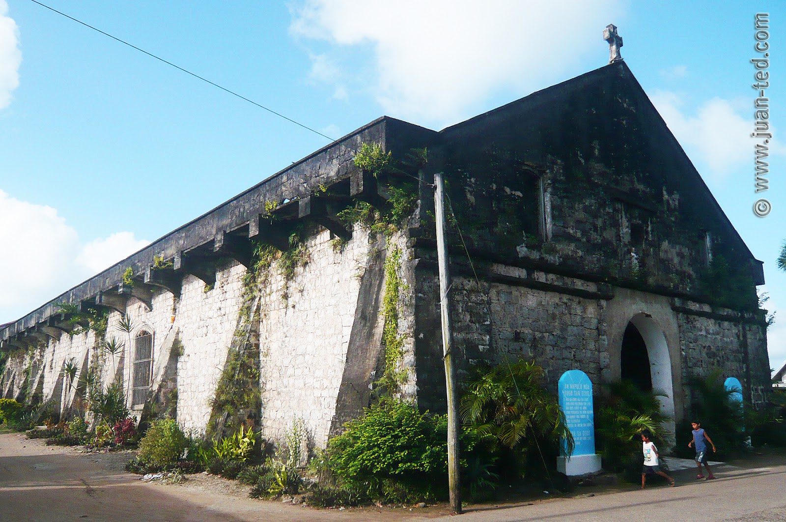
The frequent raids of Moro pirates (1752–1754) also took its toll against the early Pambujanons because some of them, after a ferocious bloodletting for freedom’s sake against the Spanish Colonial Regime, eventually succumbed and allowed themselves to Christianity, adopted Spanish surnames and became subjects to the Spanish Crown to spare themselves from the hands of the new adversary. Towering among them were Lucio Lovino, Capitan Josef Adonis, Gallego, brothers Jose and Domingo Catangcas, Dagohoy Siervo, Francisco Atencio, Turnino Jazmin, Urtilano Morales, Casimiro Merino, Albino Bomitivo and Felino Luna whose leadership inspired their fellow Pambujanons to bind themselves together against the pirates. Thereafter, they moved to the present site of Pambujan. It was approximately during this period that the foundations of the now existing Roman Catholic Church were laid. The subsequent events, which were characterized by the take over of the Franciscans in the religious affairs of the pueblo from the Jesuit Missionaries in 1768, triggered the completion of the church edifice. Unfortunately, it was razed and turned into ashes during the Spanish–American War. This incident, however, led the majority of Pambujanons to embrace Christianity and assume Spanish surnames in consonance with the order issued by Gov. General Narciso Claveria on Nov.21, 1849, because their Malayan surnames, like the rest of the Filipinos all over the archipelago, proved to be confusing to the Spanish authorities *(National Archives Publications: 1973). Twenty four years later, on August 4, 1863, the Vatican City declared Pambujan a full-pledged parish district.
The years 1763 and 1887 brought great earthquakes to Pambujan and made remarkable imprints by leaving huge cracks on its ground which until now can be found 2 kilometers south-west from the town’s center.
Meanwhile, the Filipino-American War of 1898 found the brave men of Pambujan actively struggling for freedom led by Capitan Restituto Jazmin, Licerio Sosing, Daniel Siervo, Ponciano Marcial and Vicente Obieta. The local insurrectos devoted their efforts in manufacturing gun powders and war weaponry such as explosives and rifles patterned after the“mauser” which they had deposited in their “armoria” at So. Gunudhud in Barrio Coroconog and So. Mapanas in Barrio Ginulgan. All of these were used against the Americans by the forces of General Lukban who was then headquartered in Matuquinao.
The surrender of the “insurrectos”under Capitan Restituto Jazmin in 1903 marked the beginning of a relative peacefulness. From this period Pambujan underwent some considerable changes. However, a big fire in 1918, razed some commercial and residential buildings. It was followed by the ravages wrought by the Pacific war. Years later, reconstruction and marked achievements were realized, population rose steadily, literacy increased and agricultural productivity relatively improved.
The year 1925 was characterized by the institutionalization of local politics when two political parties were organized within its boundaries. The “KUSOG SAN KAUSWAGAN” headed by Tomas E. dela Cruz and the “TINGOG SAN KABLASANON” headed by Sixto A. Balanquit, Sr.
The years that followed, specifically during the incumbency of Mayor Ramon Siervo (1955–1963) and Atty. Alfredo dela Cruz (1963–1967), faced the clamor of the inhabitants of Lao-angan and Suba for the conversion of these barrios into towns independent from Pambujan by seeking the assistance of Congressman Eladio T. Balite, then representative of the lone district of Samar. Thus, Barrio Lao-angan became the municipality of San Roque named after the Catholic Martyr Saint Roche; while Barrio Suba became the municipality of Silvino Lubos, named after the donor of its site, former Municipal Councilor and Barrio Teniente of Suba, Mr. Silvino Lubos.
In the late 70's, Pambujan, specifically its interior barangays were affected by the Communist insurgency, affecting lives and livelihoods. It was believed to be more disastrous compared to World War II for the town. Despite that, it gained nationwide and international distinction when the so-called NALUCABAN KIDS won five national championships trophies in the Little League Baseball National Open Championships (1975, 1976, 1978, 1979 and 1980) which likewise brought it to the International Baseball tournaments. These were credited to the able management of then Municipal Mayor Manuel T. Balanquit, Sr. and Coach Nestor U. Tingzon.
The Sangguniang Panlalawigan, commonly known as the Provincial Board, is the Filipino language name given to the legislatures in Philippine provinces. They are the legislative branch of the province and their powers and responsibilities are defined by the Local Government Code of 1991. Along with the provincial governor, the executive branch of the province, they form the province's government.
Paninirongan Beach is one of the beautiful beaches of Pambujan that has very fine sand, clear and cool water. This beach boasts a natural swimming pool even during high tides. Bathers can stay until afternoon and watch the beautiful sunset.
Caohagan Island
Caohagan Island is the best place for diving, snorkeling, fishing and hunting. This exotic island is known for its beautiful corals and abundance of century trees and boracay white pebbles that is used as construction materials for exterior and interior design of houses/buildings. This island is also a haven of giant fruit bats.
Objects are very visible vertically up to 15 meters deep and horizontally up to 10 meters in distance. Biotic communities that are essential components of marine ecological system such as coral and sea grasses can be observed in the coastal waters of the island. Caohagan has a bountiful variety of ornamental and commercial fishes.
Oot and Libas Points
Both areas have pristine beaches, splendid under water corals ideal for snorkeling and diving. Various species of mangroves trees can also be found in these untouched areas.
Socio-cultural events
Kadayaw Festival
Celebrated every first full moon of the year. It is Pambujanon’s way of celebrating the new year by praising the Almighty for the graces bestowed upon them and wishing more for the ensuing year. This whole day affair, which consists of local products’ trade fair (manggad trade fair), dance parade and floorshow demonstrations and a masquerade ball at night.
Panarit sa Pasko
slated at the start of Novena on December 16 until December 24. It is a group-singing contest featuring original “PANARIT” song presentations.
Lantaka Festival
Celebrated every December 31 showcasing artistic bamboo canons locally called as "lantaka".
Fiesta Celebration
Pambujan’s town fiesta is celebrated every 24 June in honor of St. John the Baptist, the town’s Patron Saint.
Related Research Articles
Silago, officially the Municipality of Silago, is a 4th class municipality in the province of Southern Leyte, Philippines. According to the 2015 census, it has a population of 12,775 people. It used to be barrio of Hinunangan until Executive Order No. 326 dated May 17, 1951 separated it from the mother town. The town has an ebony beach with unique black sand.
Barbaza, officially the Municipality of Barbaza,, is a 4th class municipality in the province of Antique, Philippines. According to the 2015 census, it has a population of 22,704 people.
Mabini, officially the Municipality of Mabini,, is a 3rd class municipality in the province of Pangasinan, Philippines. According to the 2015 census, it has a population of 24,765 people.
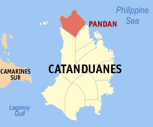
Pandan, officially the Municipality of Pandan, is a 4th class municipality in the province of Catanduanes, Philippines. According to the 2015 census, it has a population of 20,516 people.
Basey, officially the Municipality of Basey, is a 1st class municipality in the province of Samar, Philippines. According to the 2015 census, it has a population of 55,480 people.
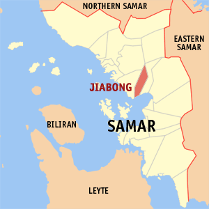
Jiabong, officially the Municipality of Jiabong, is a 5th class municipality in the province of Samar, Philippines. According to the 2015 census, it has a population of 18,342 people.
Marabut, officially the Municipality of Marabut, is a 5th class municipality in the province of Samar, Philippines. According to the 2015 census, it has a population of 16,962 people.
Santa Margarita, officially the Municipality of Santa Margarita,, is a 4th class municipality in the province of Samar, Philippines. According to the 2015 census, it has a population of 26,348 people.
Zumarraga, officially the Municipality of Zumarraga, is a 5th class island municipality in the province of Samar, Philippines. According to the 2015 census, it has a population of 16,295 people.
Palapag, officially the Municipality of Palapag, is a 3rd class municipality in the province of Northern Samar, Philippines. According to the 2015 census, it has a population of 34,286 people.
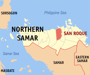
San Roque, officially the Municipality of San Roque, is a 4th class municipality in the province of Northern Samar, Philippines. According to the 2015 census, it has a population of 30,580 people.
Silvino Lobos, officially the Municipality of Silvino Lobos, is a 4th class municipality in the province of Northern Samar, Philippines. According to the 2015 census, it has a population of 15,299 people.
Arteche,, officially the Municipality of Arteche, is a 3rd class municipality in the province of Eastern Samar, Philippines. According to the 2015 census, it has a population of 16,026 people.
Dolores, officially the Municipality of Dolores, is a 5th class municipality in the province of Eastern Samar, Philippines. According to the 2015 census, it has a population of 42,866 people.
General MacArthur, officially the Municipality of General MacArthur, is a 5th class municipality in the province of Eastern Samar, Philippines. According to the 2015 census, it has a population of 14,550 people.
Mercedes,, officially the Municipality of Mercedes, is a 5th class municipality in the province of Eastern Samar, Philippines. According to the 2015 census, it has a population of 6,070 people.
Salcedo, officially the Municipality of Salcedo, is a 5th class municipality in the province of Eastern Samar, Philippines. According to the 2015 census, it has a population of 22,532 people.
San Policarpo, officially the Municipality of San Policarpo, is a 5th class municipality in the province of Eastern Samar, Philippines. According to the 2015 census, it has a population of 14,687 people.
La Paz, officially the Municipality of La Paz, is a 5th class municipality in the province of Leyte, Philippines. According to the 2015 census, it has a population of 19,998 people.
Mayorga, officially the Municipality of Mayorga, is a 5th class municipality in the province of Leyte, Philippines. According to the 2015 census, it has a population of 17,161 people.
References
↑ "Municipality". Quezon City, Philippines: Department of the Interior and Local Government. Retrieved 31 May 2013.
↑ Census of Population and Housing (2010). "Region VIII (Eastern Visayas)". Total Population by Province, City, Municipality and Barangay. NSO. Retrieved 29 June 2016.
This page is based on this Wikipedia article Text is available under the CC BY-SA 4.0 license; additional terms may apply. Images, videos and audio are available under their respective licenses.


