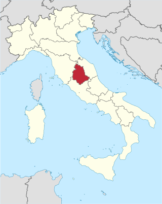
Umbria is a region of central Italy. It includes Lake Trasimeno and Marmore Falls, and is crossed by the Tiber. It is the only landlocked region on the Apennine Peninsula. The regional capital is Perugia.
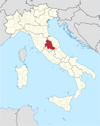
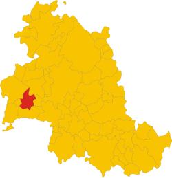
The province of Perugia is the larger of the two provinces in the Umbria region of Italy, comprising two-thirds of both the area and population of the region. Its capital is the city of Perugia. The province covered all of Umbria until 1927, when the province of Terni was carved out of its southern third. The province of Perugia has an area of 6,334 km2 covering two-thirds of Umbria, and a total population of about 660,000. There are 59 comuni in the province. The province has numerous tourist attractions, especially artistic and historical ones, and is home to the Lake Trasimeno, the largest lake of Central Italy. It is historically the ancestral origin of the Umbri, while later it was a Roman province and then part of the Papal States until the late 19th century.
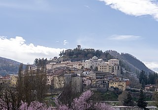
Cascia is a town and comune (municipality) of the Italian province of Perugia in a rather remote area of the mountainous southeastern corner of Umbria. It is about 21 km from Norcia on the road to Rieti in the Lazio (63 km). It is also very close to Terni.

Nocera Umbra is a town and comune in the province of Perugia, Italy, 15 kilometers north of Foligno, at an altitude of 520 m above sea-level. The comune, covering an area of 157.19 km2, is one of the largest in Umbria. It is one of I Borghi più belli d'Italia.

Cerreto di Spoleto is an Italian village and comune of the province of Perugia in Umbria. It is a dispersed rural community with 1,158 inhabitants spread over 8 frazioni.
There are 70 community bands, 110 community choirs, and about 20 secondary music schools. The region is famous for its music festivals, including the Festival dei Due Mondi in Spoleto and the Umbria Jazz Festival.
Collazzone is a comune (municipality) in the Province of Perugia in the Italian region Umbria, located about 25 km south of Perugia. As of 31 December 2004, it had a population of 3,108 and an area of 55.8 km2.

Giano dell'Umbria is a comune (municipality) in the Province of Perugia in the Italian region Umbria, located about 35 km southeast of Perugia. It is one of I Borghi più belli d'Italia.

Magione is a comune (municipality) in the Province of Perugia in the Italian region Umbria, located about 15 km west of Perugia.
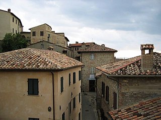
Montone is a comune (municipality) in the Province of Perugia in the Italian region Umbria, located about 35 km north of Perugia. It is one of I Borghi più belli d'Italia.

Paciano is a comune (municipality) in the Province of Perugia in the Italian region Umbria, located about 30 km southwest of Perugia. As of 31 December 2004, it had a population of 974 and an area of 16.8 km².
Piegaro is a comune (municipality) in the Province of Perugia in the Italian region Umbria, located about 30 km southwest of Perugia. Piegaro borders the following municipalities: Città della Pieve, Marsciano, Montegabbione, Monteleone d'Orvieto, Paciano, Panicale, Perugia, San Venanzo.

San Giustino is a comune (municipality) in the Province of Perugia in the Italian region Umbria, located about 50 kilometres northwest of Perugia on the Tiber River.

Scheggia e Pascelupo is a comune (municipality) in the Province of Perugia in the Italian region Umbria, located about 40 km northeast of Perugia. The municipal seat is located in the main village of Scheggia, just below Scheggia Pass on Route SS/SR 3 Flaminia, following the ancient Via Flaminia.

Valfabbrica is a comune (municipality) in the Province of Perugia in the Italian region Umbria, located about 20 km northeast of Perugia. As of 31 December 2004, it had a population of 3,542 and an area of 92.1 km2 (35.6 sq mi).
Valtopina is a comune (municipality) in the Province of Perugia in the Italian region Umbria, located about 30 km east of Perugia. As of 31 December 2004, it had a population of 1,399 and an area of 40.5 km2.

San Gemini is a comune (municipality) of c. 5,000 inhabitants in the province of Terni in the Italian region Umbria, located about 60 km south of Perugia and about 10 km northwest of Terni.
Tavarnelle may refer to places in Italy:

