
U.S. Route 220 (US 220) is a spur route of US 20. It runs in a north–south layout in the eastern United States, unlike its parent route as well as conventionally even-numbered highways which run east-west. US 220 extends for 678 miles (1,091 km) from an intersection with US 1 in Rockingham, North Carolina, to its interchange with the Southern Tier Expressway in South Waverly, Pennsylvania. Some sections of the route are part of the Appalachian Development Highway System's Corridor O as well as I-73 in North Carolina. US 220 is designated as a spur route of US 20 but the route does not intersect US 20 or connect to other spurs of US 20.

Pennsylvania Route 18 is a major north–south highway in Western Pennsylvania whose southern terminus is at West Virginia Route 69 at the state line in Greene County near the village of Garrison, while the northern terminus is at PA 5 in Lake City. At a length of 205 miles (330 km), PA 18 is the only state route in Pennsylvania — north–south or east–west — to traverse the entire state. It also has the distinction of being the longest state route in Pennsylvania.
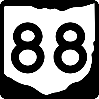
State Route 88 is a highway generally running in an east–west direction in the northeastern portion of the U.S. state of Ohio. Its southern terminus is in Portage County at SR 59 at the intersection of Freedom Street with Main Street in Ravenna. SR 88 is labeled north-south southwest of U.S. Route 422 (US 422) and SR 168/SR 528, and labeled east-west east of there. SR follows a northerly direction for a little more than one mile (1.6 km) along Freedom Street, to the SR 14 and SR 44 concurrency bypass. From here, the route heads in a northeasterly direction. Its next intersection is with SR 700, at the southern terminus of the latter route. One-quarter mile (0.40 km) further to the northeast, SR 88 joins SR 303 for about one-half mile (0.80 km). SR 88 then continues northeast, crossing over Interstate 80 and the Ohio Turnpike, before turning due north as it enters Garrettsville. Here, as South Street, the route intersects SR 82, then becomes North Street before exiting the corporation limits.

Pennsylvania Route 8 is a major 148.6-mile-long (239.1 km) state route in western Pennsylvania. Officially, PA 8 is named the William Flinn Highway. Its southern terminus is at Interstate 376 (I-376)/U.S. Route 22 /US 30 in Pittsburgh. Its northern terminus is US 20 in Erie.

Pennsylvania Route 58 is located in Western Pennsylvania, running 71.2 miles from Ohio State Route 5 at the Ohio state line 3 miles (4.8 km) west of Jamestown in Mercer County to PA 68 in Sligo in Clarion County.
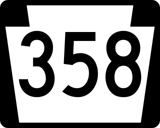
Pennsylvania Route 358 is located in Western Pennsylvania, running from the Ohio state line 6 miles (9.7 km) west of Greenville to Sandy Lake in Mercer County.

Pennsylvania Route 158 is an 11.9-mile-long (19.2 km) state highway located in western Pennsylvania, running from PA 18 south of New Wilmington in Lawrence County, to US 62 and PA 258 in Mercer in Mercer County.

Pennsylvania Route 208 is located in Western Pennsylvania; its western terminus just west of the village of New Bedford in Lawrence County at U.S. Route 422 and the Ohio state line. It runs nearly 75 miles (121 km) to its eastern terminus in the village of Frills Corners in Clarion County at PA 36.
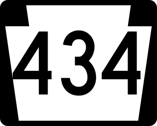
Pennsylvania Route 434 is a 12.47-mile-long (20.07 km) state highway located in northeast Pennsylvania. The western terminus of the route is at PA 739 in the Blooming Grove Township community of Lords Valley. The eastern terminus of the route is at the New York-Pennsylvania border in Shohola Township, where PA 434 crosses the Delaware River and enters New York, becoming New York State Route 55 at an intersection with NY 97 in the town of Highland. PA 434 used to be part of PA 37 and PA 137.

Pennsylvania Route 36 is a 151.12 mi (243.2 km) long state highway located in the U.S. state of Pennsylvania. The southern terminus is at PA 26 near the Hopewell Township community of Yellow Creek. The northern terminus is at PA 27 and PA 227 in Pleasantville.

Pennsylvania Route 97 is one of two Pennsylvania state highways that carries the PA 97 designation; the other PA 97 is in Adams County. The northern PA 97, 21 miles (34 km) in length, is a north-south highway that terminates at PA 8 at both ends. The southern terminus is in Union City and the northern terminus is in Erie. The Pennsylvania Department of Transportation (PennDOT) internally designates this road SR 0197 to distinguish it from the other PA 97.
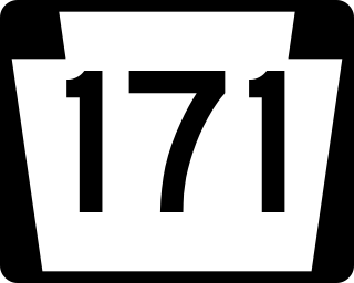
Pennsylvania Route 171 is a 40.17-mile-long (64.65 km) north–south state highway located in northeast Pennsylvania. The southern terminus of the route is at U.S. Route 6 Business in Carbondale. The northern terminus is officially at an intersection with US 11, 250 feet (76 m) to the west of Interstate 81 (I-81).
Pennsylvania Route 108 is a highway in Western Pennsylvania that runs for 32 miles (51 km) from the Ohio state line near SNPJ to PA 8 in Adams Corner. PA 108 intersects Interstate 376 (I-376) near New Castle and U.S. Route 19 (US 19) near Harlansburg. PA 108 also has an interchange with Interstate 79 (I-79) at exit 105.

Pennsylvania Route 258 is a 27-mile-long (43 km) state highway located in Butler and Mercer counties in Pennsylvania. The southern terminus is at PA 108/PA 173 in Slippery Rock. The northern terminus is at PA 18 in Clark.
Pennsylvania Route 285 is an 27.1-mile-long (43.6 km), east–west state highway located in Crawford County in Pennsylvania, United States. The western terminus is the Ohio state line on Lake Pymatuning, where the road becomes Ohio State Route 85. The eastern terminus is at PA 173 in Cochranton.

Pennsylvania Route 415 is a 10.035-mile-long (16.150 km) state highway located in Luzerne and Wyoming counties in Pennsylvania. The southern terminus is at PA 309 in Dallas while the northern terminus is at PA 29 near Harveys Lake in the community of Ruggles. A rare feature of this road is that the right-of-way splits in Harveys Lake, where the State Route 0415 alignment heads along the western side of Harveys Lake, while SR 1415 heads along the eastern side. The two routes merge several miles north.

Pennsylvania Route 646 is a 19.15 miles (30.82 km) long state highway located in McKean county in Pennsylvania. The southern terminus is at PA 59 in Keating Township. The northern terminus is the New York state line in Foster Township. The route continues as New York State Route 16 in Cattaugarus County.

Pennsylvania Route 660 is a 24.1-mile-long (38.8 km) state highway located in Tioga County in Pennsylvania. The western terminus is at the entrance of Leonard Harrison State Park in Shippen Township. The eastern terminus is at U.S. Route 15 (US 15) and US 15 Business in Richmond Township.

U.S. Route 119 (US 119) travels through Connellsville, Greensburg, and Punxsutawney, and bypasses Uniontown and Indiana. There are numerous other boroughs and villages along its 133-mile (214 km) route in the Keystone State. The southern entrance of US 119 is at the West Virginia state line one-half-mile south of Point Marion. The northern terminus is at US 219 two miles (3 km) south of DuBois, Pennsylvania. US 119 is in the National Highway System from the West Virginia state line to Exit 0 of PA Turnpike 66, and from US 22 to US 219. From US 22 to US 219, the highway carries the name of the Buffalo-Pittsburgh Highway; from US 22 to PA 56, it is also known as the Patrick J. Stapleton Highway; near Uniontown, it bears the name George C. Marshall Parkway.

Pennsylvania Route 405 (PA 405) is a 35.124-mile-long (56.527 km) state highway that runs in the north-central part of the U.S. state of Pennsylvania. The southern terminus of PA 61 in Sunbury. The route heads across the Susquehanna River to Northumberland and northward along the West Branch Susquehanna River through Milton, Watsontown and Muncy until entering Hughesville, where it terminates at an intersection with U.S. Route 220 (US 220).


