Pouembout

Last updated
Pouembout
PouemboutRond-point.jpg
Traditional architecture in Pouembout
Locator map of Pouembout 2018.png
Location of the commune (in red) within New Caledonia
Location of Pouembout
Pouembout
Coordinates: 21°07′40″S164°53′18″E / 21.1279°S 164.8883°E / -21.1279; 164.8883 Coordinates: 21°07′40″S164°53′18″E / 21.1279°S 164.8883°E / -21.1279; 164.8883
Country France
Sui generis collectivity New Caledonia
Province North Province
Government
  Mayor (20202026) Yann Peraldi [1]
Area
1
674.3 km2 (260.3 sq mi)
Population
 (2019 census) [2]
2,752
  Density4.1/km2 (11/sq mi)
Ethnic distribution
  2019 census Kanaks 36.41%
Europeans 26.34%
Wallisians and Futunans 1.82%
Mixed 18.13%
Other 17.3%
Time zone UTC+11:00
INSEE/Postal code
98825 /98825
Elevation0–1,134 m (0–3,720 ft)
(avg. 10 m or 33 ft)
1 New Caledonia Land Register (DITTT) data, which exclude lakes and ponds larger than 1 km² (0.386 sq mi or 247 acres) as well as the estuaries of rivers.

Pouembout is a commune in the North Province of New Caledonia, an overseas territory of France in the Pacific Ocean.

Contents

Geography

Climate

Pouembout has a tropical savanna climate (Köppen climate classification Aw). The average annual temperature in Pouembout is 23.5 °C (74.3 °F). The average annual rainfall is 1,002.6 mm (39.47 in) with January as the wettest month. The temperatures are highest on average in February, at around 27.0 °C (80.6 °F), and lowest in July, at around 19.6 °C (67.3 °F). The highest temperature ever recorded in Pouembout was 37.9 °C (100.2 °F) on 19 November 1968; the coldest temperature ever recorded was 6.0 °C (42.8 °F) on 26 July 1970.

Climate data for Pouembout (1981–2010 averages, extremes 1962−2009)
MonthJanFebMarAprMayJunJulAugSepOctNovDecYear
Record high °C (°F)37.3
(99.1)
37.3
(99.1)
35.5
(95.9)
34.0
(93.2)
34.1
(93.4)
32.9
(91.2)
31.1
(88.0)
32.0
(89.6)
34.3
(93.7)
34.6
(94.3)
37.9
(100.2)
37.1
(98.8)
37.9
(100.2)
Average high °C (°F)31.9
(89.4)
31.8
(89.2)
31.1
(88.0)
29.8
(85.6)
28.0
(82.4)
26.2
(79.2)
25.2
(77.4)
25.6
(78.1)
27.3
(81.1)
29.1
(84.4)
30.3
(86.5)
31.4
(88.5)
29.0
(84.2)
Daily mean °C (°F)26.8
(80.2)
27.0
(80.6)
26.2
(79.2)
24.7
(76.5)
22.7
(72.9)
20.9
(69.6)
19.6
(67.3)
19.8
(67.6)
21.1
(70.0)
23.0
(73.4)
24.5
(76.1)
25.9
(78.6)
23.5
(74.3)
Average low °C (°F)21.7
(71.1)
22.1
(71.8)
21.4
(70.5)
19.5
(67.1)
17.5
(63.5)
15.7
(60.3)
14.0
(57.2)
14.0
(57.2)
14.8
(58.6)
16.8
(62.2)
18.8
(65.8)
20.4
(68.7)
18.0
(64.4)
Record low °C (°F)14.0
(57.2)
13.6
(56.5)
12.0
(53.6)
10.1
(50.2)
8.5
(47.3)
6.5
(43.7)
6.0
(42.8)
6.5
(43.7)
7.5
(45.5)
6.2
(43.2)
11.0
(51.8)
11.0
(51.8)
6.0
(42.8)
Average precipitation mm (inches)158.4
(6.24)
156.9
(6.18)
157.4
(6.20)
68.7
(2.70)
72.1
(2.84)
67.8
(2.67)
48.7
(1.92)
44.2
(1.74)
29.3
(1.15)
32.3
(1.27)
58.1
(2.29)
108.7
(4.28)
1,002.6
(39.47)
Average precipitation days (≥ 1.0 mm)9.210.711.06.65.96.55.34.93.13.85.47.880.3
Source: Meteociel [3]

Related Research Articles

<span class="mw-page-title-main">Ceyzériat</span> Commune in Auvergne-Rhône-Alpes, France

Ceyzériat is a commune in the Ain department, Auvergne-Rhône-Alpes region in eastern France. Ceyzériat station has rail connections to Bourg-en-Bresse and Oyonnax.

<span class="mw-page-title-main">Saint-Nicolas-lès-Cîteaux</span> Commune in Bourgogne-Franche-Comté, France

Saint-Nicolas-lès-Cîteaux is a commune in the Côte-d'Or department in eastern France.

<span class="mw-page-title-main">Arreau</span> Commune in Occitania, France

Arreau is a commune in the Hautes-Pyrénées department in southwestern France.

<span class="mw-page-title-main">Montmélian</span> Commune in Auvergne-Rhône-Alpes, France

Montmélian is a commune in the Savoie department in the Auvergne-Rhône-Alpes region in south-eastern France. Montmélian station has rail connections to Grenoble, Modane, Bourg-Saint-Maurice and Chambéry.

<span class="mw-page-title-main">Pecquencourt</span> Commune in Hauts-de-France, France

Pecquencourt is a commune in the Nord department in northern France.

<span class="mw-page-title-main">Cappelle-en-Pévèle</span> Commune in Hauts-de-France, France

Cappelle-en-Pévèle is a commune in the Nord department in northern France.

<span class="mw-page-title-main">Saint-Firmin, Hautes-Alpes</span> Commune in Provence-Alpes-Côte dAzur, France

Saint-Firmin is a commune in the Hautes-Alpes department in southeastern France.

<span class="mw-page-title-main">Détain-et-Bruant</span> Commune in Bourgogne-Franche-Comté, France

Détain-et-Bruant is a commune in the Côte-d'Or department in eastern France.

<span class="mw-page-title-main">Boigneville</span> Commune in Île-de-France, France

Boigneville is a commune in the Essonne department in Île-de-France in northern France.

<span class="mw-page-title-main">Novillard</span> Commune in Bourgogne-Franche-Comté, France

Novillard is a commune in the Territoire de Belfort department in Bourgogne-Franche-Comté in northeastern France.

<span class="mw-page-title-main">Lescheraines</span> Commune in Auvergne-Rhône-Alpes, France

Lescheraines is a commune in the Savoie department in the Auvergne-Rhône-Alpes region in Southeastern France. In 2019, it had a population of 781.

<span class="mw-page-title-main">Moulès-et-Baucels</span> Commune in Occitania, France

Moulès-et-Baucels is a commune in the Hérault department in the Occitanie region in southern France.

Les Plans is a commune in the Hérault department in the Occitanie region in southern France.

<span class="mw-page-title-main">Saint-Maurice-aux-Forges</span> Commune in Grand Est, France

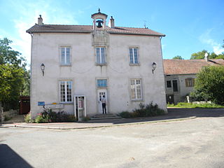
Saint-Maurice-aux-Forges is a commune in the Meurthe-et-Moselle department in north-eastern France.

<span class="mw-page-title-main">Rocheservière</span> Commune in Pays de la Loire, France

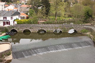
Rocheservière is a commune in the Vendée department in the Pays de la Loire region in western France. The Battle of Rocheservière was fought nearby in 1815.

Saint-Fulgent is a commune in the Vendée department in the Pays de la Loire region in western France.

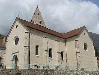
Verrens-Arvey is a commune in the Savoie department in the Auvergne-Rhône-Alpes region in south-eastern France.

<span class="mw-page-title-main">Le Perrier</span> Commune in Pays de la Loire, France

Le Perrier is a commune in the Vendée department in the Pays de la Loire region in western France.

<span class="mw-page-title-main">Lucelle, Haut-Rhin</span> Commune in Grand Est, France

Lucelle is a commune in the Haut-Rhin department in Alsace in north-eastern France.

<span class="mw-page-title-main">Le Mérévillois</span> Commune in Île-de-France, France

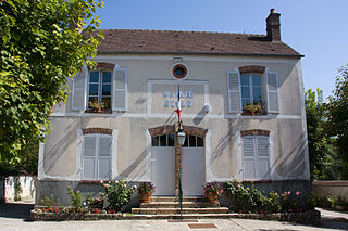
Le Mérévillois is a commune in the department of Essonne.

References

  1. "Répertoire national des élus: les maires" (in French). data.gouv.fr, Plateforme ouverte des données publiques françaises. 13 September 2022.
  2. Population, ménages et logement par commune, en 2019, Institut de la statistique et des études économiques Nouvelle-Calédonie
  3. "Normales et records pour Pouembout (988)". Meteociel. Retrieved 3 June 2022.