
State Road 1 (SR 1) is a north–south state highway in eastern Indiana, consisting of two segments. Its southern segment begins at U.S. Highway 50 and Interstate 275 in east-central Dearborn County, just east of Lawrenceburg, and ends at Interstate 469 south of Fort Wayne. Its northern segment begins at Interstate 69 on Fort Wayne's north side, and ends at U.S. Route 20 in east-central Steuben County, approximately 6 miles (9.7 km) east of Angola.
State Route 70 (SR 70) is a 43.1-mile-long (69.4 km) state highway that travels southwest-to-northeast through portions of Coweta and Fulton counties in the north-central part of the U.S. state of Georgia. The highway connects Newnan with the west-central part of Atlanta.
County Route 533 is a county highway in the U.S. state of New Jersey. The highway extends 32.78 miles (52.75 km) from the White Horse Circle, in Hamilton Township to Middlesex CR 607 on the border of Bound Brook and Middlesex Borough. CR 533 shares a long concurrency with U.S. Route 206 through Princeton and Montgomery Township, while portions of the roadway in Somerset County are part of the Millstone River Valley Scenic Byway.
State Route 315 (SR 315) is a 29.8-mile-long (48.0 km) east-west state highway in the west-central part of the U.S. state of Georgia. The highway travels from SR 219 at Goat Rock Road in southwestern Harris County to SR 208 in Olive Branch, west of Talbotton, in west-central Talbot County.

State Route 39 is a 118-mile-long (190 km) state highway that travels south-to-north through portions of Seminole, Miller, Early, Clay, Quitman, and Stewart counties in the southwestern part of the U.S. state of Georgia. The route proceeds north from its southern terminus along the shore of Lake Seminole in southern Seminole County to a point just southwest of Omaha, where it travels in an easterly direction until it meets its northern terminus, an intersection with US 27/SR 1 in a rural south of the unincorporated community of Louvale.
State Route 41 (SR 41) is a 134.5-mile-long (216.5 km) state highway that runs south-to-north through portions of Calhoun, Randolph, Terrell, Webster, Marion, Talbot, Meriwether, and Coweta counties in the southwestern and west-central parts of the U.S. state of Georgia. The route connects the Morgan area to Moreland, via Buena Vista, Manchester, Warm Springs, and Greenville.
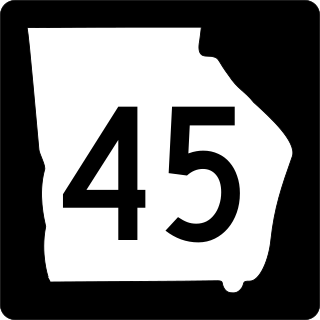
State Route 45 (SR 45) is a 88.1-mile-long (141.8 km) state highway that runs south-to-north through portions of Seminole, Miller, Early, Calhoun, Terrell, Webster, and Sumter counties in the southwestern part of the U.S. state of Georgia. The route connects Iron City and Plains, via Colquitt and Dawson.
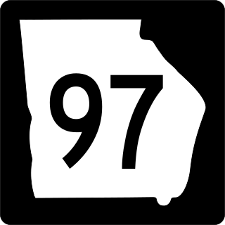
State Route 97 (SR 97) is a 57.2-mile-long (92.1 km) southwest-to-northeast state highway in the southwestern part of the U.S. state of Georgia. The highway's southern terminus is at the Florida state line, southwest of Faceville, where the roadway continues as County Road 269A to US 90 in Florida. Its northern terminus is at SR 37 in Camilla. The highway connects Faceville with Camilla, via Bainbridge, Vada, and Hopeful.

At least 12 special routes of U.S. Route 5 (US 5) have existed.

South Carolina Highway 105 (SC 105) is a 33.220-mile-long (53.462 km) state highway in the U.S. state of South Carolina. The highway connects rural areas of Union and Cherokee counties.
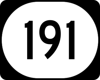
Kentucky Route 191 (KY 191) is a 31.1-mile-long (50.1 km) state highway in the U.S. state of Kentucky. The highway connects Campton and West Liberty with mostly rural areas of Wolfe and Morgan counties.
Route 9 is a 13.1 km (8.1 mi), two-lane, uncontrolled-access, secondary highway in central Prince Edward Island. Its southern terminus is at Route 19A in Clyde River and its northern terminus is at Route 2 in North Wiltshire.
Route 12 is a 112 km (70 mi), two-lane, uncontrolled-access, secondary highway in western Prince Edward Island, Canada. Its southern terminus is at Route 11 in Miscouche and its northern terminus is at the North Cape Hiking Trail in Tignish. The route parallels Route 2 as it travels toward the North Cape.
Route 14 is a two-lane, uncontrolled-access, secondary highway in western Prince Edward Island. The route is entirely in Prince County and generally parallels Route 2 as it heads toward the North Cape. Its southern terminus is at Route 2 in Coleman and its northern terminus is at Route 2 in Tignish.
Route 17, known along some sections as Point Pleasant Road, is a 36.9-kilometre (22.9 mi), two-lane, uncontrolled-access, secondary highway in eastern Prince Edward Island. Its southern terminus is at Route 4 in Murray River and its northern terminus is at Route 4 in Montague. The route is entirely in Kings County.
Route 18, also known as Cape Bear Road, is a 23.9 kilometres (14.9 mi), two-lane, uncontrolled-access, secondary highway in eastern Prince Edward Island. Its southern terminus is at Route 4 in High Bank and its northern terminus is at Route 4 in Murray River. The route is entirely in Kings County.
Route 25 is a 18-kilometre (11 mi), two-lane, uncontrolled-access, secondary highway in central Prince Edward Island. Its southern terminus is at Route 2 in Marshfield, and its northern terminus is at Gulf Shore Parkway East in Stanhope by the Sea. The route is entirely in Queens County.
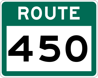
Route 450 is a highway in the Canadian province of Newfoundland and Labrador. The highway starts at an interchange at Route 1 in Corner Brook. When approaching O'Connell Drive, motorists can turn left to continue their journey along the route. The route terminates at a cul-de-sac in Lark Harbour.

Route 440 is a relatively short highway in the Canadian province of Newfoundland and Labrador, on the West Coast. The highway was named in honor of Admiral Hugh Palliser. The highway starts at an interchange at Route 1 in Corner Brook, and terminates at Cox's Cove. The speed limit is 80 km/h except in communities where the speed is reduced to 50 km/h.
The M43 is a metropolitan route, South Africa that connects Vosloorus with the Birchleigh suburb of Kempton Park via Boksburg.
