
Alberschwende is a municipality and a village in the district of Bregenz in the Austrian state of Vorarlberg.

Zwischenwasser is a municipality in the district of Feldkirch in the Austrian state of Vorarlberg.

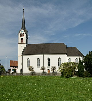
Viktorsberg is a municipality in the district of Feldkirch in the Austrian state of Vorarlberg.

Blons is a municipality in the district of Bludenz in Austrian state of Vorarlberg.

Bludesch is a municipality in the district of Bludenz in the Austrian state of Vorarlberg.

Bürserberg is a municipality in Austria in Vorarlberg in the Bludenz district with 549 inhabitants.

Raggal is a municipality in the district of Bludenz in the Austrian state of Vorarlberg.

Sankt Gallenkirch is a municipality in the district of Bludenz in the Austrian state of Vorarlberg.

Silbertal is a municipality in the district of Bludenz in the Austrian state of Vorarlberg.
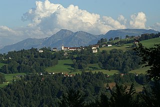
Sonntag is a municipality in the district of Bludenz in the Austrian state of Vorarlberg.
Buch is a municipality in the district of Bregenz in the Austrian state of Vorarlberg.
Gaißau is a municipality in the district of Bregenz in the Austrian state of Vorarlberg.

Höchst is a municipality in the district of Bregenz in the Austrian state of Vorarlberg.

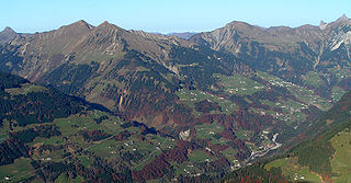
Schnepfau is a municipality in the district of Bregenz in the Austrian state of Vorarlberg.

Koblach is a municipality in the district of Feldkirch in the Austrian state of Vorarlberg.

Mäder is a municipality in the district of Feldkirch in the Austrian state of Vorarlberg.

Röns is a municipality in the district of Feldkirch in the Austrian state of Vorarlberg.
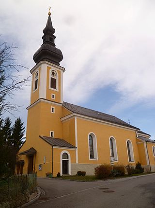
Altschwendt is a municipality in the district of Schärding in the Austrian state of Upper Austria.

Ottensheim is a municipality in the district of Urfahr-Umgebung in the Austrian state of Upper Austria. At its rowing venue, Regattastrecke Ottensheim, it has hosted numerous international rowing competitions, including various World Championships, World U23 Championships, World Junior Championships, and World Cups.
Schwanenstadt is a town in the district of Vöcklabruck in the Austrian state of Upper Austria.


