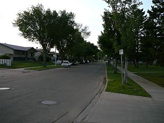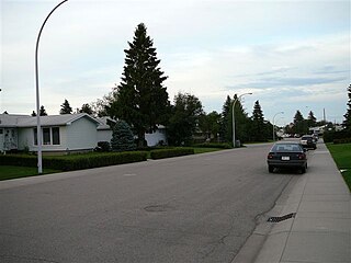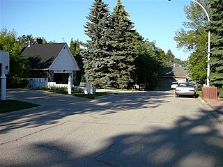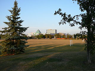
Elmwood is a neighbourhood in west Edmonton, Alberta, Canada that was a part of the Town of Jasper Place prior to Jasper Place's amalgamation with Edmonton in 1964. It is a residential neighbourhood located to the south east of West Edmonton Mall and to the south west of Meadowlark Health and Shopping Centre. Residents also have ready access to the Misericordia Community Hospital located just north of Elmwood in the neighbourhood of West Meadowlark Park.
Windsor Park is a south central neighbourhood in the City of Edmonton, Alberta, Canada. It is located immediately to the west of the University of Alberta north campus and overlooking the North Saskatchewan River valley to the north, west, and south west. It shares a short boundary with the neighbourhood of Belgravia to the south.

Lynnwood is a residential neighbourhood in west Edmonton, Alberta, Canada. Its location gives residents good access to downtown, the University of Alberta, MacEwan College, and West Edmonton Mall. It became a part of Edmonton when the Town of Jasper Place amalgamated with Edmonton in 1964.
Lansdowne is a neighbourhood in south west Edmonton, Alberta, Canada overlooking the Whitemud Creek Ravine. The Snow Valley Ski Hill is located near the neighbourhood. The neighbourhood is situated directly across from Michener Park, a residential complex for students staying at the University of Alberta.
Jackson Heights is a residential neighbourhood in the Mill Woods area of Edmonton, Alberta, Canada. It is located in the Burnewood area of Mill Woods. The neighbourhood was named in 1976 after Annie May Jackson. Jackson "became the first female police officer in Canada when she was appointed to the Edmonton Police Department in 1912."
Parkview is a residential neighbourhood in west Edmonton, Alberta, Canada. Parkview is one of the larger residential neighbourhoods in the city, and is located adjacent to the North Saskatchewan River Valley in the west portion of the City. The neighbourhood has good access to Whitemud Drive and Stony Plain Road, and the interior street layout is based on a modified grid network.

Laurier Heights is a residential neighbourhood in west Edmonton, Alberta, Canada overlooking the North Saskatchewan River valley. A portion of the neighbourhood along Buena Vista Road is located in the river valley, and this portion is sometimes called Buena Vista.

Grandview Heights is a residential neighbourhood in south west Edmonton, Alberta, Canada. It is built on land that had been owned in the 1880s by a family named McCauley.

Ottewell is a large residential neighbourhood in east Edmonton, Alberta, Canada. "The area is named for the Ottewell family, who were among the first settlers south of the river in the 1880s".
Terrace Heights is a roughly triangle-shaped residential neighbourhood in south east Edmonton, Alberta, Canada.
Aspen Gardens is a residential neighbourhood in south west Edmonton, Alberta, Canada, overlooking the Whitemud Creek Ravine. The neighbourhood "was designed to appeal to individuals and families in search of quiet, affluent residential neighbourhood characterised by larger homes, mature trees, and attractive paths for pedestrian and bicycle travel."
Royal Gardens is a residential neighbourhood in south west Edmonton, Alberta, Canada. The neighbourhood is bounded on the north by Whitemud Drive, on the east by 111 Street, on the south by 40 Avenue, and on the west by 119 Street/121 Street.

Capilano is a residential neighbourhood in south east Edmonton, Alberta, Canada. The neighbourhood, established in the 1950s, overlooks the scenic North Saskatchewan River valley.
Forest Heights is a residential neighbourhood in east central Edmonton, Alberta, Canada that overlooks the North Saskatchewan River valley to the north and west. Four bridges provide access to destinations on the north side of the river.
Lymburn is a residential neighbourhood located in west Edmonton, Alberta, Canada. It is named for attorney general John F. Lymburn.

Aldergrove is a residential neighbourhood in west Edmonton, Alberta, Canada.
Empire Park is a residential neighbourhood in southwest Edmonton, Alberta, Canada. A major shopping centre, Southgate Centre, is located at the west end of the Neighbourhood.
Fulton Place is a residential neighbourhood in east Edmonton, Alberta, Canada. It is named for the creek which runs along the neighbourhood's west boundary. It is part of a broader area of surrounding communities known as Greater Hardisty.
Rio Terrace is a neighbourhood in west Edmonton, Alberta, Canada. It is bounded by the Patricia Heights neighbourhood across 156 Street to the west, the Lynnwood neighbourhood across Whitemud Drive to the north, the Quesnell Heights neighbourhood across 149 Street to the east, and the North Saskatchewan River valley to the south.
Patricia Heights is a neighbourhood in west Edmonton, Alberta, Canada. It is bounded by the Patricia Ravine of the North Saskatchewan River valley and ravine system to the south and southwest, the Westridge neighbourhood to the west, the Elmwood and Lynnwood neighbourhoods across Whitemud Drive to the north, and the Rio Terrace neighbourhood across 156 Street to the east.


