Rabah | |
|---|---|
LGA and town | |
 Interactive map of Rabah | |
 Rabah | |
| Coordinates: 13°7′N5°31′E / 13.117°N 5.517°E | |
| Country | |
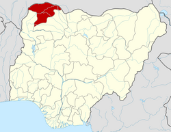
| State | Sokoto State |
| Government | |
| • Local Government Chairman | Yusuf Muhammad Rabah [1] |
| Area | |
• Total | 2,433 km2 (939 sq mi) |
| Population (2006 Census) | |
• Total | 149,165 |
| Time zone | UTC+1 (WAT) |
| 3-digit postal code prefix | 842 |
| ISO 3166 code | NG.SO.RA |
Rabah is a Local Government Area in Sokoto State, Nigeria. Its headquarters are in the town of Rabah.
Contents
It has an area of 2,433 km2 and a population of 149,165 at the 2006 census. [2]
The postal code of the area is 842. [3]
Rabah was the home town of Sir Ahmadu Bello the first Premier of Northern Nigeria. He succeeded his father as the head of Rabah District in 1934. It also is an Arabic name (Rabah)