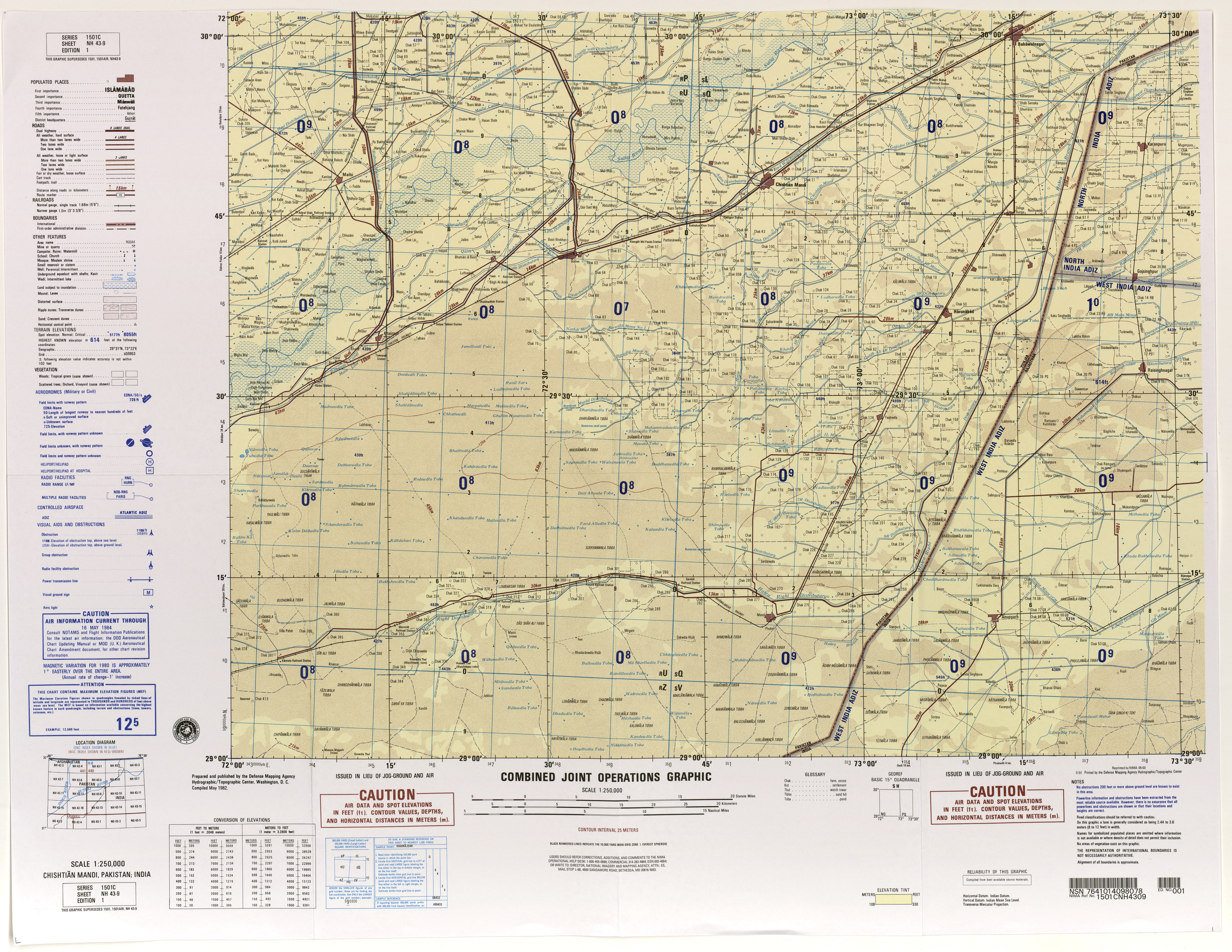
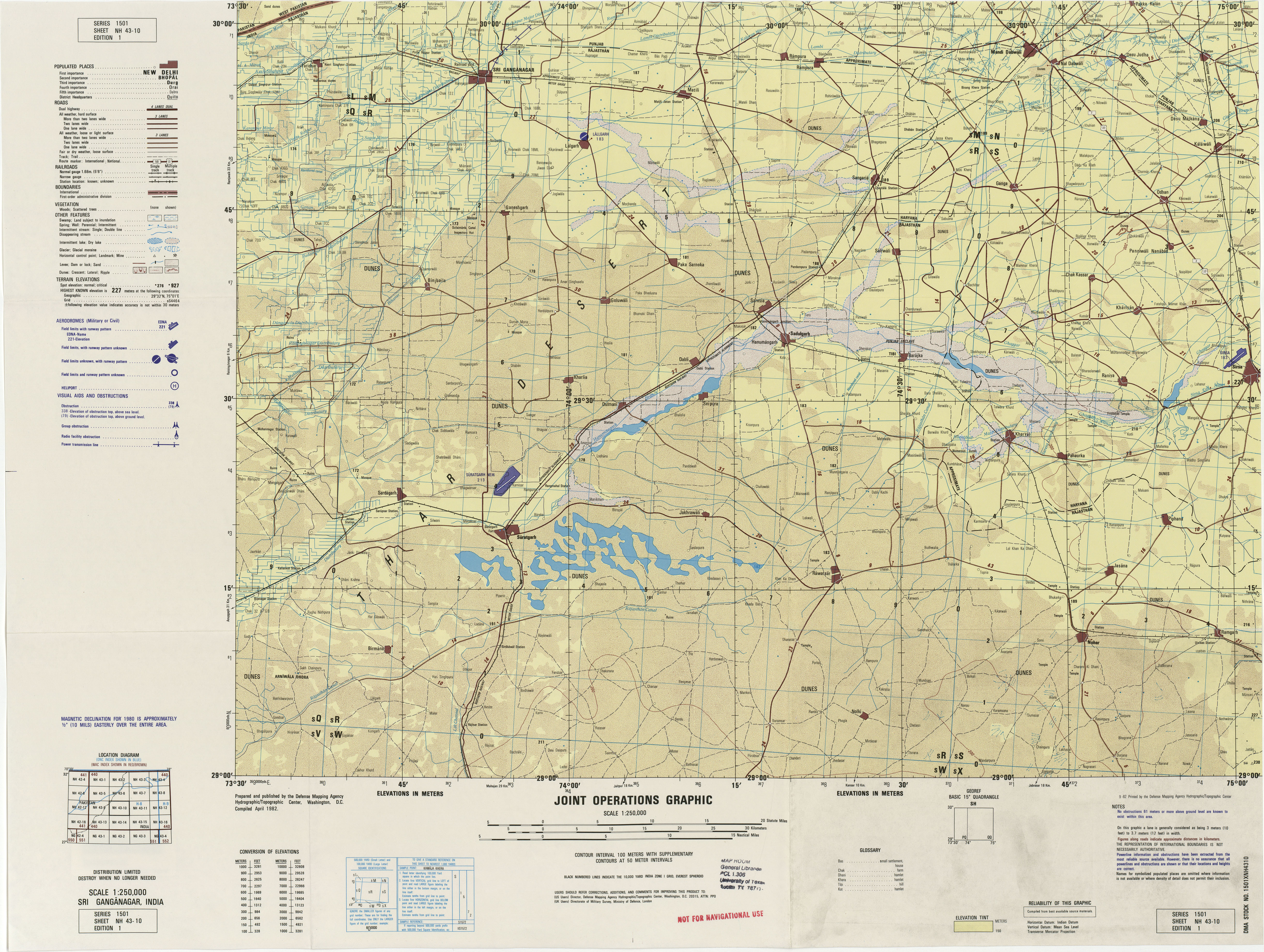
In the 2001 India census, Raisinghnagar Tehsil had 185,070 inhabitants, 97,197 (52.5%) males and 87,873 (47.5%) females, for a gender ratio of 904 females per thousand males.[3]
Historical Gurudwara Buddha Johad – a large gurudwara. This is the place where Bhai Sukha Singh and Mehtab Singh brought the head of Massa Rangarh (guilty of sacrilege of AmritsarGolden temple) and hung it on a tree on 11 August 1740.[citation needed]
The Raisinghnagar has a famous Shiv Mandir (Temple) and Singh Sabha Gurdwara.[citation needed]
Raisinghnagar Tehsil has a famous Tripura Sundari Mata Mandir, (Rajasthan 1st Temple) in Shri Dharam Sangh Sanskrit Mahavidhayal, village kikarwalee, Village 24 P.S., Gajsinghpura Road, in Raisinghnagar.[citation needed]
Romana park
Guru HarKrishan Public School 11 PS Raisinghnagar - Founded by S. Suhel Singh 26 PS, and the Incumbent Chairman is Baldev Brar.
This page is based on this Wikipedia article Text is available under the CC BY-SA 4.0 license; additional terms may apply. Images, videos and audio are available under their respective licenses.
