
Udham Singh Nagar District is a district of Uttarakhand state in northern India. Rudrapur is the district headquarters. This district consists of nine Tehsils named Bajpur, Gadarpur, Rudrapur, Jaspur, Kashipur, Kichha, Khatima, Sitarganj, Nanakmatta. The district is located in the Terai region, and is part of Kumaon Division. It is bounded on the north by Nainital District, on the northeast by Champawat District, on the east by Nepal, and on the south and west by Bareilly, Rampur, Moradabad, Pilibhit and Bijnor District of Uttar Pradesh state. The district was created on 29 September 1995, by Mayawati government out of Nainital District. It is named for freedom fighter and Indian revolutionary Udham Singh.
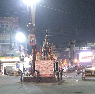
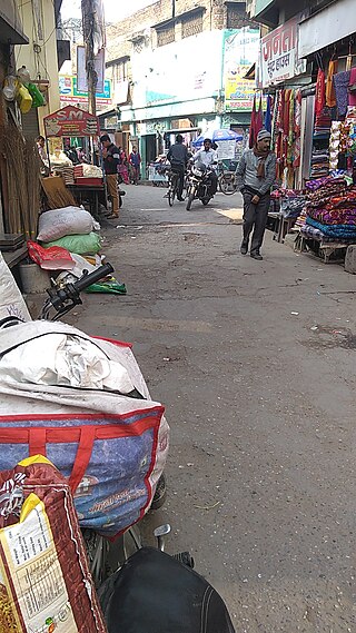
Kashipur is a city of Udham Singh Nagar district in the Indian state of Uttarakhand, and one of its seven subdivisions. Located in the western part of Udham Singh Nagar district, it is Kumaun's third most populous city and the sixth most populous in Uttarakhand. According to the 2011 Census of India, the population is 121,623 for the city of Kashipur and 283,136 for Kashipur Tehsil. Kashipur also has IIM Kashipur, one of the thirteen Indian Institutes of Managements the government has set up during the Eleventh Five-year Plan.
Afzalgarh is a city and a municipal board in Bijnor district in the Indian state of Uttar Pradesh. It is located at the border with the state of Uttarakhand.
Bazpur, or Bajpur, is a city and a municipality in Udham Singh Nagar district in the state of Uttarakhand, India.
Chak Kashipur is a census town within the jurisdiction of the Nodakhali police station in the Budge Budge II CD block in the Alipore Sadar subdivision of the South 24 Parganas district in the Indian state of West Bengal.
Jaspur is a developing town and a municipal board in Udham Singh Nagar district in the Indian state of Uttarakhand.
Rudrapur is a city that serves as the headquarters of the Udham Singh Nagar district in the Indian state of Uttarakhand. Located at a distance of about 250 km (160 mi) northeast of New Delhi and 250 km (160 mi) south of Dehradun, Rudrapur is located in the fertile Terai plains in the southern part of Kumaon division over an area of 27.65 km2. With a population of 140,857 according to the 2011 census of India, it is the 5th most populous city of Uttarakhand.
Thakurdwara is a town in Moradabad district in the indian state of Uttar Pradesh.

Kashipur is a community development block that forms an administrative division in the Raghunathpur subdivision of the Purulia district in the Indian state of West Bengal.
Kashipur Legislative Assembly constituency is one of the seventy electoral Uttarakhand Legislative Assembly constituencies of Uttarakhand state in India. It includes Kashipur area of Udhamsingh Nagar District.

Kashipur is a village in Dalmau block of Rae Bareli district, Uttar Pradesh, India. It is located 9 km from Dalmau, the block headquarters. As of 2011, it has a population of 618 people, in 102 households. It has no schools and no healthcare facilities.
Ramnagar Danda, is a village in Rishikesh, Dehradun district in the state of Uttarakhand in India.
Ramnagar Range, is an inhabited forest and village in Ramnagar, Nainital district in the state of Uttarakhand in India.
Ramnagar, is a town, or Nagar Palika Parishad, in Ramnagar, Nainital district in the state of Uttarakhand in India.
Ramnagar Jaspur, is a village in Jaspur, Udham Singh Nagar district in the state of Uttarakhand in India.
Ramnagar, is a village in Bajpur, Udham Singh Nagar district in the state of Uttarakhand in India.
Ramnagar Range, is an inhabited census village in Bajpur, Udham Singh Nagar district in the state of Uttarakhand in India.
Ramnagar, is a village in Roorkee, Hardwar district in the state of Uttarakhand in India.
