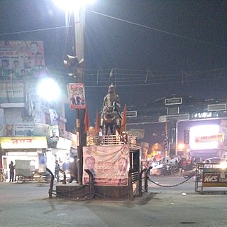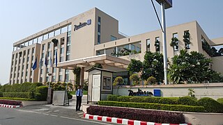
Udham Singh Nagar District is a district of Uttarakhand state in northern India. Rudrapur is the district headquarters. This district consists of seven Tehsils named Bajpur, Gadarpur, Jaspur, Kashipur, Kichha, Khatima, Sitarganj. The district is located in the Terai region, and is part of Kumaon Division. It is bounded on the north by Nainital District, on the northeast by Champawat District, on the east by Nepal, and on the south and west by Bareilly, Rampur, Moradabad, Pilibhit and Bijnor District of Uttar Pradesh state. The district was created on 29 September 1995, by Mayawati government out of Nainital District. It is named for freedom fighter and Indian revolutionary Udham Singh.

Nainital district is a district in Kumaon division which is a part of Uttarakhand state in India. The headquarters is at Nainital.

Kashipur is a city of Udham Singh Nagar district in the Indian state of Uttarakhand, and one of its seven subdivisions. Located in the western part of Udham Singh Nagar district, it is Kumaun's third most populous city and the sixth most populous in Uttarakhand. According to the 2011 Census of India, the population is 121,623 for the city of Kashipur and 283,136 for Kashipur Tehsil. Kashipur also has IIM Kashipur, one of the thirteen Indian Institutes of Managements the government has set up during the Eleventh Five-year Plan.
Ramnagar may refer to the following places:

Jaspur is a developing town and a municipal board in Udham Singh Nagar district in the Indian state of Uttarakhand.

Mahuakhera Ganj is a City, a Nagar Palika Parishad in Udham Singh Nagar district in the Indian state of Uttarakhand. The Mahuakhera Ganj city is divided into 9 wards for which elections are held every 5 years. Name OF Wards- 1-Vijay Nagra, 2-Aherpura,3-Mandaiya Devi, 4-aadarsh nagar, 5- Ganj, 6- Mainbazar 7- Jama Masjid, 8-Sakti Chauraha 9-Hakim Ganj

Rudrapur is a city in Udham Singh Nagar district in the Indian state of Uttarakhand. Located at a distance of about 250 km (160 mi) northeast of New Delhi and 250 km (160 mi) south of Dehradun, Rudrapur has a history of over 500 years. It was established in the 16th century by King Rudra Chand, and was the residence of the governor of Tarai region of Kumaon. The city continues to serve as the headquarters of the Udham Singh Nagar district apart from being a major industrial and educational hub today.

For census town, see Ramnagar (NPP)
Buksa, also known as Buksari and Bhoksa, is an Indo-Aryan language spoken by the Buksa people in parts of Uttarakhand and Uttar Pradesh, India.
Kathangari is a village in Udham Singh Nagar district in the state of Uttrakhand, India, 10km from Sitarganj, 20 km from Kichha and 34km from Rudrapur, on the Sitarganj - Kichha National Highway 74. In the 2011 census of India, kathangari had a population of 896 people.
Khatima Legislative Assembly constituency is one of the seventy electoral Uttarakhand Legislative Assembly constituencies of Uttarakhand state in India. It includes Khatima area of Udham Singh Nagar district and is a part of Nainital-Udhamsingh Nagar.

Kichha railway station is a railway station in Udham Singh Nagar district, Uttarakhand. Its code is KHH. It serves Kichha city. The station consists of two platforms. Passenger and Express trains halt here.
Jaspur Legislative Assembly constituency is one of the 70 Legislative Assembly constituencies of Uttarakhand state in India.

Not to be confused with Ramnagar Range, Udham Singh Nagar

Not to be confused with Ramnagar, Nainital

Ramnagar Kashipur, is a village in Kashipur, Udham Singh Nagar district in the state of Uttarakhand in India.

Ramnagar Jaspur, is a village in Jaspur, Udham Singh Nagar district in the state of Uttarakhand in India.

Not to be confused with Ramnagar Range, Nainital or Ramnagar, Bajpur


