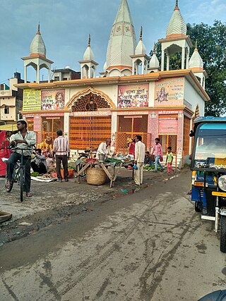
Changlang is a census town and headquarters of the Changlang district in the Indian state of Arunachal Pradesh. It has become one of the major districts in the area owing to the presence of crude oil, coal and mineral resources other than tourism and hydro power.
Amodghata is a census town in Chinsurah Mogra CD Block in Chinsurah subdivision of Hooghly district in the state of West Bengal, India. It is a part of Kolkata Urban Agglomeration.
Aurangabad Bangar is a census town in Mathura district in the state of Uttar Pradesh, India.
Dharchula Dehat is a census town in Pithoragarh district in the state of Uttarakhand, India.

Dineshpur is a town and a nagar panchayat in Udham Singh Nagar district in the state of Uttarakhand, India.
Eksara is a census town in Bally Jagachha CD Block of Howrah Sadar subdivision in Howrah district in the Indian state of West Bengal. It is a part of Kolkata Urban Agglomeration.
Kashirampur is a census town in Pauri Garhwal District in the Indian state of Uttarakhand.
Mahua Dabra Haripura is a town, a nagar panchayat in Udham Singh Nagar district in the Indian state of Uttarakhand.
Manikpur is a census town in Sankrail CD Block of Howrah Sadar subdivision in Howrah district in the Indian state of West Bengal. It is a part of Kolkata Urban Agglomeration.
Monoharpur is a village in Chanditala II CD Block in Srirampore subdivision of Hooghly district in the state of West Bengal, India. It was earlier recorded as a census town.
Mrigala is a village in Chanditala II CD Block in Srirampore subdivision of Hooghly district in the Indian state of West Bengal. It was earlier recorded as a census town.
Nagla is a census town in Udham Singh Nagar district in the Indian state of Uttarakhand.
Old Malda is a census town in Malda district in the Indian state of West Bengal. It is a part of the Malda Metropolitan Area. It is located on the eastern bank of the river Mahananda.
Pratitnagar is a census town in Dehradun district in the Indian state of Uttarakhand.

Shaktifarm is a town and a nagar panchayat in Udham Singh Nagar district in the Indian state of Uttarakhand. Shaktifarm is the centre of many villages around here.
Uttar Pirpur is a census town in Uluberia II CD Block of Uluberia subdivision in Howrah district in the Indian state of West Bengal. It is a part of Kolkata Urban Agglomeration.

Nainital Cantonment is a cantonment town in Nainital district in the Indian state of Uttarakhand, close to the hill station of Nainital. Established in the year 1878, today the Nainital Cantonment is a Class IV cantonment. Current CEO of cantonment board is Shri Varun Kumar.
Santoshpur is a census town in Uluberia II CD Block of Uluberia subdivision in Howrah district in the Indian state of West Bengal. It is a part of Kolkata Urban Agglomeration.
Madnapur is a town and a gram panchayat in Udham Singh Nagar district in the state of Uttarakhand, India.
Dhalwala is a census town in Tehri Garhwal district in the state of Uttarakhand, India.


