RM473 begins in Comfort, at an intersection with SH27.[2] The route travels through the business district of Comfort, intersecting Business US87. RM473 then passes under I-10/US87, but there is no direct junction with the freeway. Outside of Comfort, RM473 continues eastward to Sisterdale, where it has a brief concurrency with RM1376.[3] It continues eastward through Kendalia and intersects US281 south of Twin Sisters. The two routes stay merged for about two miles; US281 continues north while RM473 resumes a generally eastbound direction. RM473 ends at an intersection with RM32.[1][4]
History
The route was originally designated as Farm to Market Road 473 (FM473) on July 9, 1945, as a short route connecting US87 in Comfort to Nichols Ranch 4.7 miles (7.6km) to the east. This route was extended several times: to 4.7 miles (7.6km) east of Nichols Ranch on February 25, 1949; to Sisterdale on July 14 of that year, to RM474 on December 18, 1951; and to US281 on January 29, 1953, replacing FM1622. The designation was changed to RM473 on October 1, 1956. The addition of the section between US281 and RM32 occurred on November 26, 1969.[1] While the official designation has not been amended, signage indicates that the route begins at SH 27, and not at US 87 (or its successor business route).[citation needed]
Major intersections
The total mileage in the table below is greater than that given by TxDOT, because the concurrency with US 281 is not included in its official description or mileage; however, the route is signed as concurrent.
Ranch to Market Road 1431 is a 66.702-mile (107.346 km) ranch to market road in Texas, United States, that connects Austin with rural areas of Central Texas.
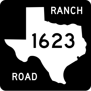
Ranch to Market Road 1623 is a 23.386-mile (37.636 km) farm to market road in Gillespie and Blanco counties, Texas.
Farm to Market Road 1719 is a farm to market road in the Amarillo metropolitan area of the Texas Panhandle.
↑ Transportation Planning and Programming Division (2018). Texas County Mapbook(PDF) (Map) (2018ed.). 1:72,224. Texas Department of Transportation. p.1685. Retrieved November 16, 2022.
↑ Transportation Planning and Programming Division (2018). Texas County Mapbook(PDF) (Map) (2018ed.). 1:72,224. Texas Department of Transportation. p.1686. Retrieved November 16, 2022.
↑ Transportation Planning and Programming Division (2018). Texas County Mapbook(PDF) (Map) (2018ed.). 1:72,224. Texas Department of Transportation. p.1687. Retrieved November 16, 2022.
This page is based on this Wikipedia article Text is available under the CC BY-SA 4.0 license; additional terms may apply. Images, videos and audio are available under their respective licenses.