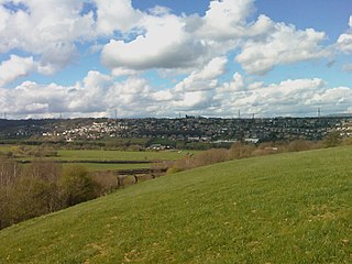
Greetland is a village situated within the metropolitan borough of Calderdale, West Yorkshire, England. It falls within the Calderdale Ward of Greetland and Stainland. According to the 2011 Census, this ward had a population of 11,389. Geographically, Greetland is approximately 1 mile west of Elland and 2.5 miles south of Halifax.

Rastrick is a village in the county of West Yorkshire, England, between Halifax, 5 miles (8 km) north-west and Huddersfield, 4 miles (7 km) south.

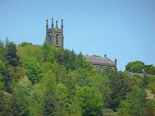
Ripponden is a village and civil parish on the River Ryburn near Halifax in West Yorkshire, England. Historically it was part of the West Riding of Yorkshire. Its population was 6,412 at the time of the 2001 Census, and 7,421 in 2011.

Shelley is a village in the civil parish of Kirkburton, in the Kirklees district, in the county of West Yorkshire, England. The village is 3 miles (5 km) north of Holmfirth and 6 miles (10 km) south-east of Huddersfield.

Calderdale is a metropolitan borough of West Yorkshire, England, which had a population of 211,439. It takes its name from the River Calder, and dale, a word for valley. The name Calderdale usually refers to the borough through which the upper river flows, while the actual landform is known as the Calder Valley. Several small valleys contain tributaries of the River Calder. The main towns of the borough are Brighouse, Elland, Halifax, Hebden Bridge, Sowerby Bridge and Todmorden.

Ardsley is a small village approximately 3 miles (5 km) east from Barnsley and forms part of the Metropolitan Borough of Barnsley of South Yorkshire, England. The village is in the Stairfoot ward of Barnsley Metropolitan Council. It is historically part of the West Riding of Yorkshire. The A635 divides the village into two parts.

Warley Town is a settlement near Halifax, in the Calderdale district, in the county of West Yorkshire, England. Warley is a ward of Calderdale. The population of this ward as taken at the 2011 Census was 12,215.
Sowerby is a village in the Calderdale district, in West Yorkshire, England. It lies in the Pennines, contiguous with Sowerby Bridge, 3.7 miles (6.0 km) west-southwest of Halifax.

Southowram is a village and former civil parish in Calderdale, West Yorkshire, England. It stands on hill top between Halifax and Brighouse, on the south side of the Shibden Valley. Northowram is on the northern side of the valley. Southowram falls within the Town ward of Calderdale Council. The village is included within the Halifax built-up area as defined by the Office for National Statistics.
Northowram is a village lying north-east of the town of Halifax in Calderdale, West Yorkshire, England. It stands on the north side of Shibden valley. Southowram stands on the southern side of the valley.
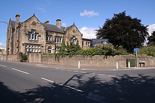
Hipperholme is a village in West Yorkshire, England, located between the towns of Halifax and Brighouse in the Hipperholme and Lightcliffe ward of the Metropolitan Borough of Calderdale. The population of this ward at the 2011 Census was 11,308.
Ovenden is a village in West Yorkshire, England, next to Boothtown and Illingworth about a mile from Halifax town centre. It is also a Calderdale Ward whose population at the 2011 Census was 12,351.

Wansford is a village and former civil parish, now in the parish of Skerne and Wansford, in the East Riding of Yorkshire, England. It is situated on the B1249 road and just to the north of the River Hull and the Driffield Canal. It is approximately 2.5 miles (4 km) south-east of Driffield and 3 miles (4.8 km) north-west of North Frodingham.

Norland is a dispersed village south of Sowerby Bridge, in the metropolitan borough of Calderdale in West Yorkshire, England.
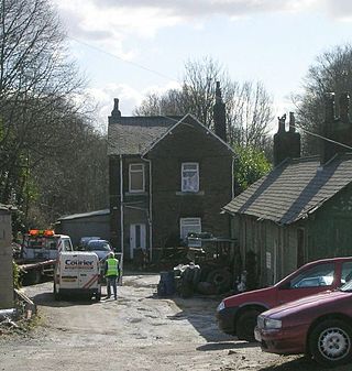
Ripponden and Barkisland railway station was opened by the Lancashire & Yorkshire Railway on the Rishworth branch in 1878 as Ripponden. Ripponden is in Calderdale, West Yorkshire, England. Its name was changed to Ripponden and Barkisland on 1 December 1891. The Lancashire and Yorkshire railway was absorbed by the London and North Western Railway on 1 January 1922, which became one of the constituents of the London, Midland and Scottish Railway on grouping in 1923. The latter company closed the station to passengers on 8 July 1929 and British Railways ceased goods traffic in 1958 after which the line was dismantled.

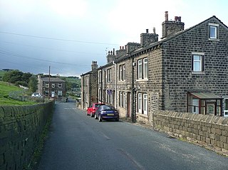
Soyland is a village in the civil parish of Ripponden, in Calderdale, West Yorkshire, England. It is just north of Ripponden off the A58 road and is 5 miles (8 km) south west of Halifax. The village referred to as Soyland Town, used to be the site of several textile mills, but these have closed down. The walking route Calderdale Way passes through the area.

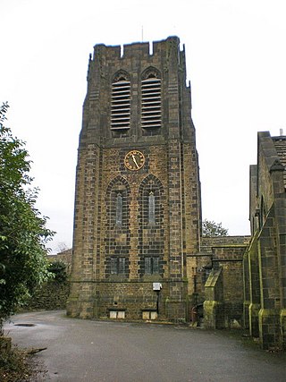
Barkisland is a village in Calderdale, West Yorkshire, England. Historically part of the West Riding of Yorkshire, it is 1 mile (1.6 km) east of Ripponden, 2 miles (3.2 km) south of Sowerby Bridge and 4 miles (6.4 km) south-west of Halifax town centre.

Midgley is a hill-top village in Calderdale, West Yorkshire, England. It is situated approximately 12 miles (20 km) east from Burnley and 4 miles (6 km) west-north-west of Halifax, and just north of the A646 road. Nearby villages are Mytholmroyd 1 mile (1.6 km) to the west-south-west, and Hebden Bridge 2.5 miles (4.0 km) to the west-north-west.
Stansfield is a place in the civil parish of Todmorden, in the Calderdale district, in West Yorkshire, England, which gave its name to Stansfield Hall, Stansfield Hall Railway Station, and an electoral ward in Todmorden, Calderdale.

Kebroyd is a small hamlet in the civil parish of Ripponden, in the Calderdale district, in West Yorkshire, England, within the valley of the River Ryburn, between Sowerby Bridge and Ripponden. Kebroyd has an approximate population of 548 people as per the UK 2011 census.


