Rock Creek Township | |
|---|---|
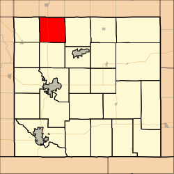 Location in Cowley County | |
| Coordinates: 37°25′55″N096°58′16″W / 37.43194°N 96.97111°W | |
| Country | United States |
| State | Kansas |
| County | Cowley |
| Area | |
• Total | 35.58 sq mi (92.14 km2) |
| • Land | 35.38 sq mi (91.64 km2) |
| • Water | 0.20 sq mi (0.51 km2) 0.55% |
| Elevation | 1,217 ft (371 m) |
| Population (2000) | |
• Total | 243 |
| • Density | 7.0/sq mi (2.7/km2) |
| GNIS feature ID | 0470020 |
Rock Creek Township is a township in Cowley County, Kansas, United States. As of the 2000 census, its population was 243.
