Rotate, Kansas | |
|---|---|
 | |
 Rotate  Rotate | |
| Coordinates: 39°42′10″N101°20′09″W / 39.70278°N 101.33583°W | |
| Country | United States |
| State | Kansas |
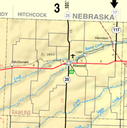
| County | Rawlins |
| Elevation | 3,333 ft (1,016 m) |
| Population | |
• Total | 0 |
| Time zone | UTC-6 (CST) |
| • Summer (DST) | UTC-5 (CDT) |
| Area code | 785 |
| GNIS ID | 482485 [1] |
Rotate is a ghost town in Rawlins County, Kansas, United States.
