Rumley | |
|---|---|
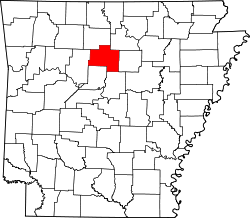
 Rumley Location in Arkansas  Rumley Location in the United States | |
| Coordinates: 35°47′20″N92°30′50″W / 35.78889°N 92.51389°W | |
| Country | United States |
| State | Arkansas |
| County | Van Buren |
| Founded | 1866 |
| Founded by | Henry Rumley |
Rumley is an unincorporated community in Van Buren County, Arkansas, United States. It was founded in 1866 by Henry Rumley. Rumley originally consisted of a series of small homes, a general store and had a largely self-sustaining agrarian economy. As with many contemporary towns, Rumley was situated on a railroad. Trains would provide dry goods and mail to the local store.