Chimes | |
|---|---|
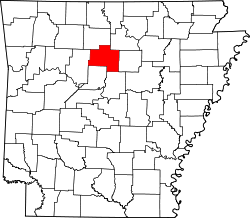
 Chimes Location in Arkansas  Chimes Location in the United States | |
| Coordinates: 35°41′53″N92°44′19″W / 35.69806°N 92.73861°W | |
| Country | United States |
| State | Arkansas |
| County | Van Buren |
| Elevation | 1,864 ft (568 m) |
| GNIS feature ID | 76607 [1] |
Chimes is an unincorporated community in Van Buren County, Arkansas, United States. [1]
The origin of the name "Chimes" is obscure. [2]