Shirley, Arkansas | |
|---|---|
 Downtown Shirley, February 2025 | |
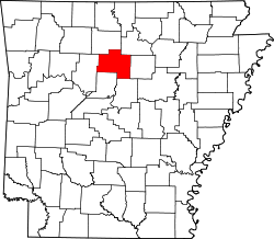
 Location of Shirley in Van Buren County, Arkansas. | |
| Coordinates: 35°38′39″N92°18′50″W / 35.64417°N 92.31389°W | |
| Country | United States |
| State | Arkansas |
| County | Van Buren |
| Area | |
• Total | 2.47 sq mi (6.40 km2) |
| • Land | 2.41 sq mi (6.23 km2) |
| • Water | 0.062 sq mi (0.16 km2) |
| Elevation | 538 ft (164 m) |
| Population (2020) | |
• Total | 248 |
• Estimate (2024) | 246 |
| • Density | 103.0/sq mi (39.78/km2) |
| Time zone | UTC-6 (Central (CST)) |
| • Summer (DST) | UTC-5 (CDT) |
| ZIP codes | 72088, 72153 |
| Area code | 501 |
| FIPS code | 05-63980 |
| GNIS feature ID | 2407328 [2] |
| Website | www |
Shirley is a town in northeast Van Buren County, Arkansas, United States, along the Middle Fork of the Little Red River. It is located on Arkansas State Highway 9 about 11 miles northeast of Clinton, Arkansas. [3] A one-time railroad outpost, the community today is oriented toward agriculture and recreational activities due to the river and Greers Ferry Lake. The population was 248 as of the 2020 Census. [4]