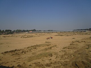
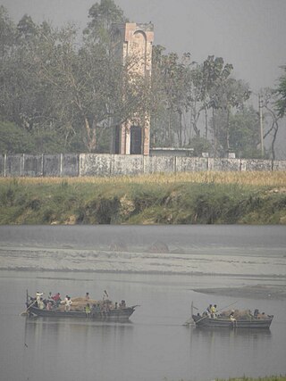
Wai is a town in Satara district of Maharashtra state in India. Located on the Krishna River, Wai was a prominent town during the Peshwa era. Two important Marathi Brahmin from ruling families had their origins here: Rani Lakshmibai of Jhansi and Gopikabai, wife of Nanasaheb Peshwa.
Jhargram is a planned city and a municipality in the Indian state of West Bengal. It is the headquarters of the Jhargram district. It is a popular tourist destination known for its forests, ancient temples and royal palaces.

Paraiya is a block in Gaya district of Bihar state, India. The Paraiya Block headquarters is Paraiya Khurd town, part of the Magadh division. It is located 17 km west of the district headquarters in Gaya, and 109 km north of the state capital Patna. Paraiya block is bounded by Guraru block to the west, Konch block to the east, and Tekari Block to the north. Bodh Gaya, Rafiganj, and Sherghati are nearby cities. Paraiya consists of 151 villages and 9 panchayats. Malahi Chak is the smallest village; Solara, the largest.
Lalganj is an important town and Nearest City, (60 kilometres Morden Old City Mehsi), and river port situated in Vaishali district, Bihar.
Makhdumpur is a town in the Bihar state of India. It is a major town of Jehanabad district and Patna-Gaya Corridor. The Barabar Hills/Barabar Caves tourist region is 10 KM South-East of Makhdumpur proper city.
Salempur City is one of the oldest Tehsil Headquarters, 71 Parliamentary Constituency which covers Vidhan Sabha of Salempur and Bhatpar Rani in Deoria district and Belthara Road, Sikanderpur and Bansdih of Ballia District. It is a Nagar Panchayat in Deoria district in the India state of Uttar Pradesh. It is one of oldest Tehsil which was founded in 1939 at the time of British Rule. It has an important Railway Station of North Eastern Railway. The Chhoti Gandak river passes through Salempur Town.
Tekari is a city and a municipality in Gaya district in the Indian state of Bihar and was the centre of erstwhile Tekari Raj. Maharaja Gopalsaran was the king of this area in British times.
Konch is a community development block of Gaya district in Bihar, India. Konch(Konch Village/Konch Panchayat/Konch Thana-Police Station) is a typical village market area slowly taking shape of a sub-urban settlement and centre of small business. Konch has very important temple known as Koncheswar Mahadev belonging to the later Gupta period which now has been taken under the protection of Archaeological Survey of India (ASI).
Moke Village is a village under Konch block of Bihar state, India. This village is situated near Tekari sub-division. One canal called Sone Canal System passes through the village, which helps to irrigate the agricultural land. Rice, pulses and sugar cane are produced from the land. As the village does not have a sugar mill, agriculturalists convert the sugar cane into boiled sugar or raw sugar.
The Darbhanga Raj, also known as Raj Darbhanga and the Khandwala dynasty, was a Maithil Brahmin dynasty and the rulers of territories, not all contiguous, that were part of the Mithila region, now divided between India and Nepal.

The Tekari Raj was a zamindari estate of the Bhumihar community in South Bihar. They controlled 2,046 villages on their estate, which covered a 7,500 square kilometres (2,900 sq mi) area, near to the town of Gaya.
Alipur is a village in Gaya district, in the state of Bihar, in eastern India.
Jalalpur is a village in Gaya district, Bihar, India. Jalalpur Village is located in Paluhar panchayat of Tekari block. This village has total 100+ families residing. The population was 2,441 as of the 2011 Indian census. It is only 0.5–1 km from Tekari, a city also in Gaya district.
Panchanpur, Gaya, in the Indian state of Bihar, is situated on the state highway which connects Gaya to Tekari and Goh, Daudnagarvia. It is 6 km from Tekari sub-divisional office and 18 km from Gaya.

Hari Kewal Prasad alternatively known as Hari Kewal Prasad Kushwaha was an Indian politician and Member of Parliament for four terms. He was a member of the 9th, 10th, 12th and the 14th Lok Sabhas of India. In all four terms, he represented the Salempur constituency of Uttar Pradesh and was a member of the Samajwadi Party political party before his death. and his son Ravindra Kushwaha is also currently Member of Parliament 2014 till now

Paina is a village and Nyaya Panchayat situated along the bank of Sarayu (Ghaghra) river in the eastern part of the state of Uttar Pradesh in India. It comes under administration of Barhaj Tehsil of Deoria District and Gorakhpur Division. It is located 33 km towards South from District headquarters Deoria and 340 km from State capital Lucknow.
Salempur is a village in Shaheed Bhagat Singh Nagar district of Punjab State, India. It is located 2 kilometres (1.2 mi) away from branch post office Bahloor Kalan, 16 kilometres (9.9 mi) from Nawanshahr, 17 kilometres (11 mi) from district headquarter Shaheed Bhagat Singh Nagar and 85 kilometres (53 mi) from state capital Chandigarh. The village is administrated by Sarpanch an elected representative of the village.
Raj Ballabh is a village in the Pingla CD block in the Kharagpur subdivision of the Paschim Medinipur district in the state of West Bengal, India.

Simarpaha is a village in Lalganj block of Rae Bareli district, Uttar Pradesh, India. It is located 3 km southwest of Lalganj on the road to Ralpur on the Ganges. In addition to the main site, the village also includes several dispersed hamlets. Simarpaha was historically the seat of a taluqdari estate held by a branch of the Bais Rajputs. As of 2011, it has a population of 8,391 people, in 1,501 households. It has two primary schools and no healthcare facilities.

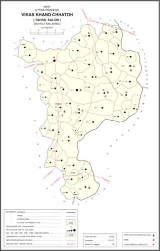
Bewal is a village in Chhatoh block of Rae Bareli district, Uttar Pradesh, India. It is located 32 km from Raebareli, the district headquarters. As of 2011, Bewal has a population of 2,781 people, in 485 households. It has 4 primary schools and no healthcare facilities, and it hosts a weekly haat but not a permanent market. It belongs to the nyaya panchayat of Bhuwalpur Sisni.


