
Beaver Creek is a census-designated place (CDP) in Hill County, Montana, United States. The population was 271 at the 2010 census.

Clinton is an unincorporated community and census-designated place (CDP) in Missoula County, Montana, United States. It is part of the Missoula metropolitan area. The population was 1,018 at the 2020 census.

Pigeon Creek is a census-designated place (CDP) in Summit County, Ohio, United States. The population was 886 at the 2020 census. It is part of the Akron metropolitan statistical area.

Canadohta Lake is a census-designated place (CDP) in Crawford County, Pennsylvania, United States. The population was 503 at the 2020 census.

Port Angeles East is a census-designated place (CDP) in Clallam County, Washington, and part of the Port Angeles micropolitan area, in the United States. The population was 3,036 at the 2010 census. This unincorporated urban growth area bordering the city of Port Angeles is known by locals as the Gales Addition.

Amboy is a census-designated place (CDP) in Clark County, Washington, United States. The population was 1,838 at the 2020 census, up from 1,608 at the 2010 census. It is located 33 miles northeast of Vancouver which is part of the Portland-Vancouver metropolitan area.

Barberton is a census-designated place (CDP) in Clark County, Washington, United States. The population was 8,567 at the 2020 census.

Lake Shore is a census-designated place (CDP) in Clark County, Washington, United States. The population was 7,056 at the 2020 census.
Mount Vista is a census-designated place (CDP) in Clark County, Washington, United States. It includes the Vancouver campus of Washington State University. The population of Mount Vista was 10,051 at the 2020 census.

Walnut Grove is a census-designated place (CDP) in Clark County, Washington, United States. The population was 9,790 at the 2010 census, up from 7,164 at the 2000 census.

Longview Heights is a census-designated place (CDP) in Cowlitz County, Washington, United States. The population was 4,033 at the 2020 Census. The CDP is known locally as Columbia Heights.

Neilton is an unincorporated community and census-designated place (CDP) in Grays Harbor County, Washington, United States. The population was 299 at the 2020 census, down from 315 at the 2010 census.

Union Hill-Novelty Hill is a census-designated place (CDP) in King County, Washington, United States. The area was first recognized by the Census Bureau in the 2000 census. The population was 22,683 at the 2020 census.
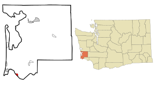
Chinook is a census-designated place (CDP) in Pacific County, Washington, United States. The population was 457 at the 2020 census.

Greenwater is a census-designated place (CDP) in the northwest United States in Pierce County, Washington. Southeast of Seattle, the population was 67 at the 2010 census, down from 91 in 2000. At the 2020 census, the population was 95.

Canyon Creek is a census-designated place (CDP) in Snohomish County, Washington, United States. The population was 3,445 at the 2020 census, up from 3,200 at the 2010 census. Prior to the 2010 census, the CDP was known as Jordan Road-Canyon Creek.

Martha Lake is a census-designated place (CDP) in Snohomish County, Washington, United States. The population was 21,129 at the 2020 census. It lies west of Mill Creek and northeast of Lynnwood, near the lake of the same name.

May Creek is a census-designated place (CDP) in Snohomish County, Washington, United States. The population was 849 at the 2020 census.

Woods Creek is a census-designated place (CDP) in Snohomish County, Washington, United States. The population was 6,017 at the 2020 census.

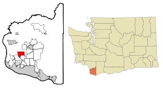
Carson is a census-designated place in the Columbia River Gorge National Scenic Area, north of the Columbia River in Skamania County, in the southwestern part of Washington, United States. The population was 2,323 at the 2020 census.


