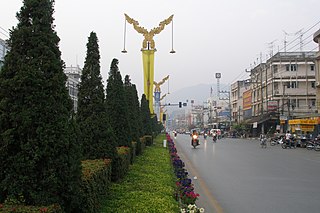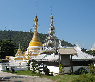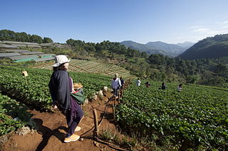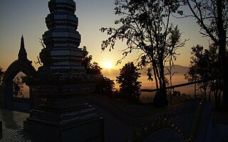
Mae Sai is the northernmost district (amphoe) of Chiang Rai province in northern Thailand. The town of Mae Sai is a major border crossing between Thailand and Myanmar. Asian Highway Network AH2 crosses the Mae Sai River to the town Tachileik in Myanmar.

Chaloem Phra Kiat District, Saraburi is a district (amphoe) in the northern part of Saraburi province, central Thailand.

Mae Chaem is a district (amphoe) of Chiang Mai province in northern Thailand.

Mueang Mae Hong Son is the capital district of Mae Hong Son province, northern Thailand.

Pang Mapha is the northernmost district (amphoe) of Mae Hong Son province, northern Thailand.

Fang is a district (amphoe) in the northern part of Chiang Mai province, northern Thailand.

Chiang Saen is a district (amphoe) in the northern part of Chiang Rai province, northern Thailand. Chiang Saen is an important entrepôt for Thailand's trade with other countries on the upper part of Mekong River.

Dok Khamtai is a district (amphoe) of Phayao province in northern Thailand.

Mueang Pan is a district (amphoe) in the northern part of Lampang province, northern Thailand.

Ban Thi is the northernmost district (amphoe) of Lamphun province, northern Thailand.

Mae Phrik is a district (amphoe) in the southern part of Lampang province, northern Thailand.

Wang Nuea is the northernmost district (amphoe) of Lampang province, northern Thailand.

Mae Mo or Mae Moh is a district (amphoe) in the eastern part of Lampang province, northern Thailand.

Phaya Mengrai is a district (amphoe) of Chiang Rai province, northern Thailand.

Omkoi is the southwesternmost district (amphoe) of Chiang Mai province in northern Thailand.

Mae Wang is a district (amphoe) in the central part of Chiang Mai province in northern Thailand. The largest settlement and administrative seat of Mae Wang is Ban Kad, a satellite town of Chiang Mai. Across Mae Wang district, the ethnic Hill Tribe people are more present than in other parts of Thailand. Groups with large populations in the district include the Karen people, Hmong and Akha peoples. In the lowlands near Ban Kad Thai people are more common, and as elevations increase on the Western slopes of Doi Inthanon, ethnic minorities become more common. Past Mae Sa Pok, on Rural Road 1013, The villages are almost exclusively Karen, with Hmong people living in higher elevations.

Mae Taeng is a district (amphoe) in the northern part of Chiang Mai province in northern Thailand.

San Pa Tong is a district (amphoe) of Chiang Mai province in northern Thailand.

Hang Dong is a district (amphoe) of Chiang Mai province in northern Thailand.

Galyani Vadhana is a district (amphoe) of Chiang Mai province in northern Thailand. It is named after Princess Galyani Vadhana. It was founded on 26 December 2009, by the Royal Decree Establishing Amphoe Galyani Vadhana, Changwat Chiang Mai, BE 2552 (2009), making it the 878th and latest district of Thailand.


