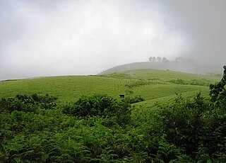
Vagamon is an Indian hill station and a revenue village primarily located in Peerumedu taluk of Idukki district, and also Meenachil taluk and Kanjirappally taluk of Kottayam district in the state of Kerala, India.

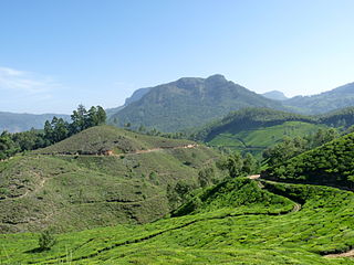
Peermade, also spelt Peerumedu is a village, Grama Panchayat and hill station in the state of Kerala, India. It lies 915 metres (3,002 ft) above sea level in the Western Ghats (Sahyadri) about 85 kilometres (53 mi) east of Kottayam on the way to Thekkady through the nearby city of Kanjirappally.

Kumily, also spelt as Kumaly is a revenue village and Gram Panchayat in the Idukki district of Kerala. It is a town in Cardamom Hills near Thekkady and Periyar Tiger Reserve. Kumily is a gateway town into Kerala from Tamil Nadu.
Udumbanchola is a taluk in Idukki district of Kerala state in India. This is in the high ranges. Nedumkandam is the major town and capital of Udumbanchola taluk. Mathikettan Shola National Park is located in Udumbanchola.

Kuttampuzha is a village and gram panchayat in Ernakulam district in the Indian state of Kerala. Situated 71 km east of Kochi, Kuttampuzha panchayat is home to the 17.7% of total area of the Ernakulam District.
Anaviratty is a village in Idukki district in the Indian state of Kerala.

Bison valley is a village in Udumbanchola Taluk in the Idukki district of the southwestern Indian state of Kerala. Bison valley is situated at around 914 metres (3000 ft) above mean sea level, in the Western Ghats range of mountains.
Chakkupallam is a Grama Panchayat and Village in Idukki district in the Indian state of Kerala. The administrative capital(Panchayat Office) and village center of Chakkupallam Grama Panchayat is Anakkara, located on Kumily-Munnar state highway. The town has a large church, built in 2000.

Chathurangapara is a village in Idukki district in the Indian state of Kerala. The village is part of Udumbanchola and Senapathy Panchayats.

Chinnakanal is a village in Idukki district in the Indian state of Kerala. It has waterfalls which are popularly known as the Power House Waterfalls. Arikomban is a famous elephant that lived in Chinnakanal.
Kannan Devan Hills is a large village located in Devikulam Taluk of Idukki District in the Indian state of Kerala. It is situated near the state border with Tamil Nadu, about 25 kilometres northeast of the district seat Painavu, and 8 kilometres north of the subdistrict seat Devikulam. In 2011, it is home to 55,738 residents.

Karunapuram is a village in Idukki district in the Indian state of Kerala.
Kunchithanny is a village situated in the Idukki district in the Indian state of Kerala. Located on the banks of the river Muthirappuzha, this village is home to people from different parts of the state of Kerala.

Pallivasal is a village in Idukki district in the Indian state of Kerala.
Poopara is a village in Idukki district in the Indian state of Kerala. It is located in the cardamom-growing region of Kerala, and also houses a number of tea and coffee plantations. The place also intersects the Munnar - Kumily state highway (SH-19) and Kochi - Dhanushkodi national highway (NH-49). The Anayirankal reservoir is 4 km up the road from Poopara.

Rajakumari is a village in Idukki district in the Indian state of Kerala.
Upputhode is a village in Idukki district in the Indian state of Kerala.
Keezhanthoor is a village in Idukki district in the state of Kerala, India. The village is in the western ghats and is known for growing apples. A Mariyamman Temple and a Vinayagar Temple are the places of devotion

Kottakamboor is a village in Devikulam taluk of Idukki district in the state of Kerala, India.
Mlappara is a village in Idukki district in the state of Kerala, India.

