Shermans Dale Sherman's Dale Sherman Valley | |
|---|---|
 | |
| Coordinates: 40°19′27″N77°10′24″W / 40.32417°N 77.17333°W | |
| Country | United States |
| State | Pennsylvania |
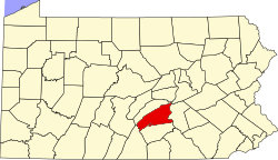
| County | Perry |
| Township | Carroll |
| Elevation | 468 ft (143 m) |
| Time zone | UTC-5 (EST) |
| • Summer (DST) | UTC-4 (Eastern Daylight Time) |
| ZIP code | 17090 |
| Area code | 717 |
Shermans Dale is an unincorporated community in Carroll Township, Perry County, Pennsylvania, United States, [1] along Shermans Creek. It was originally settled by Scots-Irish settlers before the American Revolutionary War. Its ZIP code is 17090.
Contents
The public school that serves Shermans Dale is West Perry School District.