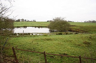
Skendleby Priory was a priory in the village of Skendleby, Lincolnshire, England.

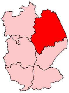
Skendleby is a small village and civil parish in the East Lindsey district of Lincolnshire, England. It is situated near to the A158 and lies 35 miles (56 km) east from the county town Lincoln, and about 4 miles (6 km) north-east from the town of Spilsby. The village stands near the south-eastern edge of the Lincolnshire Wolds.

Lincolnshire is a county in eastern England, with a long coastline on the North Sea to the east. It borders Norfolk to the south east, Cambridgeshire to the south, Rutland to the south west, Leicestershire and Nottinghamshire to the west, South Yorkshire to the north west, and the East Riding of Yorkshire to the north. It also borders Northamptonshire in the south for just 20 yards (18 m), England's shortest county boundary. The county town is the city of Lincoln, where the county council has its headquarters.
The believed remains of St James Chapel, Skendleby Priory, were uncovered during archaeological investigations and excavations in 2005. It was a small cell to Bardney Abbey built by Walter de Gant, and recorded by Bede in the seventh century. [1] Bardney Abbey was founded no later than 697, but destroyed by a Danish raid in 869. [2]

Bardney Abbey in Lincolnshire, England, was a Benedictine monastery founded in 697 by King Æthelred of Mercia, who was to become the first abbot. The monastery was supposedly destroyed during a Danish raid in 869. In 1087, the site was refounded as a priory, by Gilbert de Gant, Earl of Lincoln, and it regained status as an abbey in 1115.

Bede, also known as Saint Bede, Venerable Bede, and Bede the Venerable, was an English Benedictine monk at the monastery of St. Peter and its companion monastery of St. Paul in the Kingdom of Northumbria of the Angles. Born on lands likely belonging to the Monkwearmouth monastery in present day Sunderland, Bede was sent there at the age of seven and later joined Abbot Ceolfrith at the Jarrow monastery, both of whom survived a plague that struck in 686, an outbreak that killed a majority of the population there. While he spent most of his life in the monastery, Bede travelled to several abbeys and monasteries across the British Isles, even visiting the archbishop of York and King Ceolwulf of Northumbria. He is well known as an author, teacher, and scholar, and his most famous work, Ecclesiastical History of the English People, gained him the title "The Father of English History". His ecumenical writings were extensive and included a number of Biblical commentaries and other theological works of exegetical erudition. Another important area of study for Bede was the academic discipline of computus, otherwise known to his contemporaries as the science of calculating calendar dates. One of the more important dates Bede tried to compute was Easter, an effort that was mired with controversy. He also helped establish the practice of dating forward from the birth of Christ, a practice which eventually became commonplace in medieval Europe. Bede was one of the greatest teachers and writers of the Early Middle Ages and is considered by many historians to be the single most important scholar of antiquity for the period between the death of Pope Gregory I in 604 and the coronation of Charlemagne in 800.


