Swift Trail Junction is a census-designated place (CDP) in Graham County, Arizona, United States. The population was 2,935 at the 2010 census, up from 2,195 in 2000. It is part of the Safford Micropolitan Statistical Area. It is situated at the junction of U.S. Route 191 and State Route 366. The Swift Trail Parkway is a scenic highway that winds through the Coronado National Forest and provides access to the higher elevations of the Pinaleño Mountains.

Northridge is a census-designated place (CDP) in Clark County, Ohio, United States. The population was 7,518 at the 2020 census. It is part of the Springfield, Ohio Metropolitan Statistical Area.
Park Layne is a census-designated place (CDP) in Bethel Township, Clark County, Ohio, United States. The population of the CDP was 4,248 at the 2020 census. It is part of the Springfield, Ohio Metropolitan Statistical Area. Park Layne became a CDP in the 1980 United States Census.

Day Heights is a census-designated place (CDP) in Miami Township, Clermont County, Ohio, United States. The population was 2,625 at the 2020 census.

Felicity is a village in Franklin Township, Clermont County, Ohio, United States. The population was 651 at the 2020 census.
Mount Carmel is a census-designated place (CDP) in Union Township, Clermont County, Ohio, United States. The population was 4,828 at the 2020 census.

Mount Repose is a census-designated place (CDP) in Miami Township, Clermont County, Ohio, United States. The population was 4,648 at the 2020 census.

Mulberry is a census-designated place (CDP) in Miami Township, Clermont County, Ohio, United States. The population was 3,459 at the 2020 census.
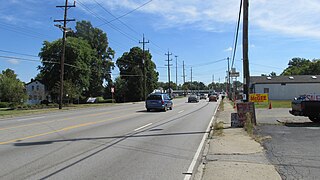
Withamsville is a census-designated place (CDP) in Pierce and Union townships of Clermont County, Ohio, United States. The population was 7,357 at the 2020 census.
Blacklick Estates is a census-designated place (CDP) in Franklin County, Ohio, United States: partly in Madison Township and partly in Truro Township. As of the 2020 census the population was 8,990.

Huber Ridge is a census-designated place (CDP) in Blendon Township, Franklin County, Ohio, United States. The population was 4,940 at the 2020 census.
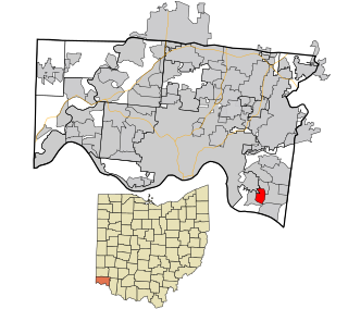
Fruit Hill is a census-designated place (CDP) in Anderson Township, Hamilton County, Ohio, United States. The population was 3,748 at the 2020 census.

Northbrook is a census-designated place (CDP) in Colerain Township, Hamilton County, Ohio, United States. The population was 10,912 at the 2020 census.

North Madison is a census-designated place (CDP) comprising the unincorporated communities of Redbird and Madison-on-the-Lake in Lake County, Ohio, United States. The population was 8,188 at the 2020 census. The area uses a mailing address of "Madison", with the ZIP Code 44057.

Beechwood Trails is a census-designated place (CDP) in Harrison Township, Licking County, Ohio, United States. The population was 3,276 at the 2020 census.
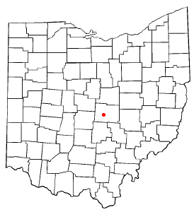
Granville South is a census-designated place (CDP) in Licking County, Ohio, United States. The population was 1,420 at the 2020 census.

Harbor Hills is a census-designated place (CDP) in southern Licking County, Ohio, United States. The population was 1,565 at the 2020 census.

Eaton Estates is an unincorporated community and census-designated place (CDP) in Lorain County, Ohio, United States. The population was 1,155 at the 2020 census.

Loveland Park is a census-designated place (CDP) located in Symmes Township, Hamilton County and Deerfield Township, Warren County, in the southwestern part of the U.S. state of Ohio. The CDP is named after the city of Loveland. The population was 1,737 at the 2020 census.
Bainbridge is a census-designated place (CDP) in Bainbridge Township, Geauga County, Ohio, United States. As of the 2020 census, the CDP had a population of 9,242.
