External links
Municipalities and communities of Ottawa County, Kansas, United States | ||
|---|---|---|
| Cities | 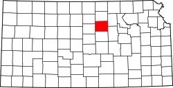 | |
| CDPs | ||
| Unincorporated communities | ||
| Ghost town | ||
39°11′51″N97°44′11″W / 39.19750°N 97.73639°W
| | This article about a location in Ottawa County, Kansas is a stub. You can help Wikipedia by expanding it. |