Leon is a city in Butler County, Kansas, United States. As of the 2020 census, the population of the city was 669.

Waverly is a city in Coffey County, Kansas, United States. As of the 2020 census, the population of the city was 574.

Hepler is a city in Crawford County, Kansas, United States. As of the 2020 census, the population of the city was 90.
McCune is a city in Crawford County, Kansas, United States. As of the 2020 census, the population of the city was 370.
Mulberry is a city in Crawford County, Kansas, United States. As of the 2020 census, the population of the city was 409.

Norcatur is a city in Decatur County, Kansas, United States. As of the 2020 census, the population of the city was 159.

Meriden is a city in Jefferson County, Kansas, United States. As of the 2020 census, the population of the city was 744.

Meade is a city in and the county seat of Meade County, Kansas, United States. As of the 2020 census, the population of the city was 1,505.

Corning is a city in Nemaha County, Kansas, United States. As of the 2020 census, the population of the city was 212.

Ness City is a city in and the county seat of Ness County, Kansas, United States. As of the 2020 census, the population of the city was 1,329. Ness City is famous for its four-story Old Ness County Bank Building located downtown and nicknamed Skyscraper of the Plains.

Lyndon is a city in and the county seat of Osage County, Kansas, United States. As of the 2020 census, the population of the city was 1,037.

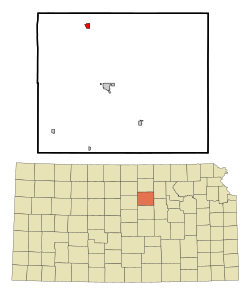
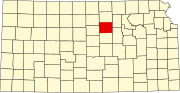
Minneapolis is a city in and the county seat of Ottawa County, Kansas, United States. As of the 2020 census, the population of the city was 1,946.

Atwood is a city in and the county seat of Rawlins County, Kansas, United States. As of the 2020 census, the population of the city was 1,290.

Munden is a city in Republic County, Kansas, United States. As of the 2020 census, the population of the city was 96.

Ogden is a city in Riley County, Kansas, United States. As of the 2020 census, the population of the city was 1,661. It is located near Fort Riley between Manhattan and Junction City.

Bentley is a city in Sedgwick County, Kansas, United States. As of the 2020 census, the population of the city was 560. It is located northwest of Wichita, approximately 4 miles north of K-96 highway at the intersection of 151st W & 109th N.
Cheney is a city in Sedgwick County, Kansas, United States. As of the 2020 census, the population of the city was 2,181.
Mount Hope is a city in Sedgwick County, Kansas, United States. As of the 2020 census, the population of the city was 806.

Alma is a city in and the county seat of Wabaunsee County, Kansas, United States. As of the 2020 census, the population of the city was 802.

Lebo is a city in Coffey County, Kansas, United States. As of the 2020 census, the population of the city was 885.