Madidi is a national park in the upper Amazon river basin in Bolivia. It was established in 1995 with a total land area of 18,958 km2. Together with the nearby protected areas Manuripi-Heath and Apolobamba and the Manu Biosphere Reserve (Peru), Madidi is part of one of the largest protected areas in the world.

Santa Rosa National Park, is a national park, in Guanacaste Province, northwestern Costa Rica, it was created in 1966 by decree 3694.

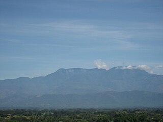
Henri Pittier National Park is the oldest national park in Venezuela, originally created in 1937 under the name of Rancho Grande by decree of President Eleazar López Contreras. In 1953 the park was renamed in honor of Henri Pittier, a distinguished Swiss geographer, botanist and ethnologist, who arrived in Venezuela in 1917, classified more than 30,000 plants in the country and devoted many years studying the flora and fauna in the park.

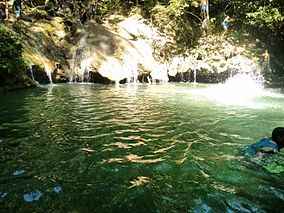
The Munchique National Natural Park is a national park located in the Cauca Department in the Cordillera Occidental range in the Andean Region of Colombia. There are 30 streams and rivers, and 40 waterfalls in the area. The diversity of thermal levels makes the park a paradise for birds, especially hummingbirds.

Desierto de los LeonesNational Park is located entirely within the limits of Mexico City; it stretches between Cuajimalpa and Álvaro Obregón boroughs. It is located in the Sierra de las Cruces mountain range west of the city center with an area of 1,867 hectares, representing fifteen percent of the entire Valley of Mexico. The term Desierto (‘desert’) is used in this context in the archaic sense of “wild, sparsely populated area” rather than in reference to an arid environment. Leones (‘Lions’) refers not to the big cats but rather to the original landlord's surname.

Tolhuaca National Park is a protected area created on October 16, 1935, in an area of 3,500 ha that was previously part of the Malleco National Reserve. In 1985, a second section of Malleco National Reserve was also made part of the national park. Malleco National Reserve was the first protected wildlife area in both Chile and South America, so the land within Tolhuaca National Park is one of the oldest protected areas on the continent.
The Tamá National Natural Park is a national park located in the Tamá Massif of the Andean Region of Colombia, between the municipalities Toledo and Herrán, in the department of Norte de Santander, in the northeastern part of the Eastern Ranges of the Colombian Andes. One of the main attractions of the park is a 820-metre-high (2,690 ft) waterfall, one of the world's highest.
Sierra de Perijá National Park, also known as Perijá National Park is a protected area in western Venezuela, in the Serranía de Perijá mountains, on the border with Colombia. The national park, located southwest of Zulia state and Lake Maracaibo, was established in 1978 with the objective of protecting the biodiversity of the hilly regions.

The Tapo-Caparo National Park, or National Park Tapo Caparo, is a protected area with national park status in Venezuela. The park covers 2,050 square kilometres (790 sq mi) in the western states of Barinas, Mérida, and Táchira.

Tirgua National Park, also known as General Manuel Manrique National Park, is a national park in Venezuela. It protects the headwaters of several waterways, especially the river Tirgua, which gives its name to the park.
The Ciénagas del Catatumbo National Park Also Catatumbo Marshes National Park or Ciénagas de Juan Manuel National Park Is a protected area of Venezuela.

The Mariusa National Park is a protected area of Venezuela with national park status.

The Sierra La Culata National Park Also Sierra de la Culata National Park is a national park of Venezuela that is located in the northeastern branch of the Venezuelan Andes, in the states Mérida and Trujillo. It was decreed a national park on December 7, 1989. It has a high mountain climate, with temperatures ranging between −2 and 24 °C, and its surface area is 200,400 hectares (774 sq mi).

The Dinira National Park is a protected area with the national park status located between the states Lara, Portuguesa and Trujillo in the South American country of Venezuela. It was created on November 30, 1988.

The Aguaro-Guariquito National Park, also rendered as Aguaro Guariquito National Park, is a protected area with the status of national park in the South American country of Venezuela. Located in the region of the Llanos, it extends over the municipalities of Francisco de Miranda and Jose Rondon in Guárico state.

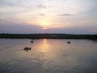
The Laguna de Tacarigua National Park, also known as Tacarigua Lagoon National Park, is a protected area with the status of a national park located east of Miranda State, close to the town of Laguna de Tacarigua in the South American country of Venezuela. It comprises a permanent coastal lagoon of 7800 ha and 1.2 m of average depth, separated from the sea by a restinga or coastal barrier of 28.8 km long and 300–1000 m wide that was formed by the action of the sea current which runs along the coast in an East-West direction.

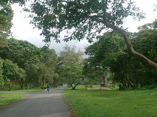
The Macarao National Park Is a protected area with the status of a national park located in the Macarao, San Pedro and Jarillo rivers, in the north of the South American country of Venezuela. Its extension of 15,000 hectares covers part of the Capital District and Miranda State. The area was declared National Park in 1973.
The Yacambú National Park is a protected area with national park status in the South American country of Venezuela. It is located in the south of the Lara State, on the southern slope of the Portuguesa Mountain Range, which forms part of the mountain foothills of the Andes Mountains. It was created in 1962 with the purpose of protecting part of the Yacambú river basin, whose waters will feed the reservoir José María Ochoa Pilé, an ambitious project still under construction. The reservoir is of vital importance for water supply in the city of Barquisimeto and for economic development in the dry valleys of Quibor, where there is a protected area of sustainable use for agricultural purposes.

The Laguna de las Marites Natural Monument Also Las Marites Lagoon Natural Monument Is a protected area with natural monument status located on the southeast coast of the coastal plain of Margarita Island in Nueva Esparta state in the northwest of the South American country of Venezuela. It was declared a monument on February 27, 1974. It has an extension of 3674 ha, an altitude of 40 msnm and an average temperature of 26 °C, with hypersaline waters.

The Caura National Park is a protected area with the status of National Park in Venezuela. With an area of 7,534,000 ha. (75,340 km2) it is the largest park in the country and the most recently created (2017).