Tyhee, Idaho | |
|---|---|
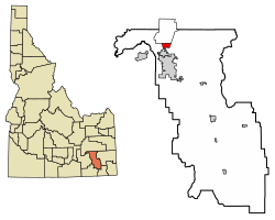 Location of Tyhee in Bannock County, Idaho. | |
 Tyhee, Idaho | |
| Coordinates: 42°57′18″N112°27′22″W / 42.95500°N 112.45611°W | |
| Country | United States |
| State | Idaho |
| County | Bannock |
| Area | |
• Total | 2.878 sq mi (7.45 km2) |
| • Land | 2.871 sq mi (7.44 km2) |
| • Water | 0.007 sq mi (0.02 km2) |
| Elevation | 4,469 ft (1,362 m) |
| Population (2020) | |
• Total | 1,130 |
| • Density | 390/sq mi (150/km2) |
| Time zone | UTC-7 (Mountain (MST)) |
| • Summer (DST) | UTC-6 (MDT) |
| Area codes | 208, 986 |
| GNIS feature ID | 2585595 [1] |
Tyhee is a census-designated place in Bannock County, Idaho, United States. Its population was 1,130 at the 2020 census, up from 1,123 as of the 2010 census. [2]
Contents
The community was named after a Bannock Indian chieftain. [3]
