 Typhoon Chanthu at peak intensity near landfall in Guangdong on July 22 | |
| Meteorological history | |
|---|---|
| Formed | July 17,2010 |
| Dissipated | July 23,2010 |
| Typhoon | |
| 10-minute sustained (JMA) | |
| Highest winds | 130 km/h (80 mph) |
| Lowest pressure | 970 hPa (mbar);28.64 inHg |
| Category 1-equivalent typhoon | |
| 1-minute sustained (SSHWS/JTWC) | |
| Highest winds | 150 km/h (90 mph) |
| Lowest pressure | 963 hPa (mbar);28.44 inHg |
| Overall effects | |
| Fatalities | 27 total |
| Damage | $818 million (2010 USD) |
| Areas affected | Luzon,Guangdong |
| IBTrACS | |
Part of the 2010 Pacific typhoon season | |
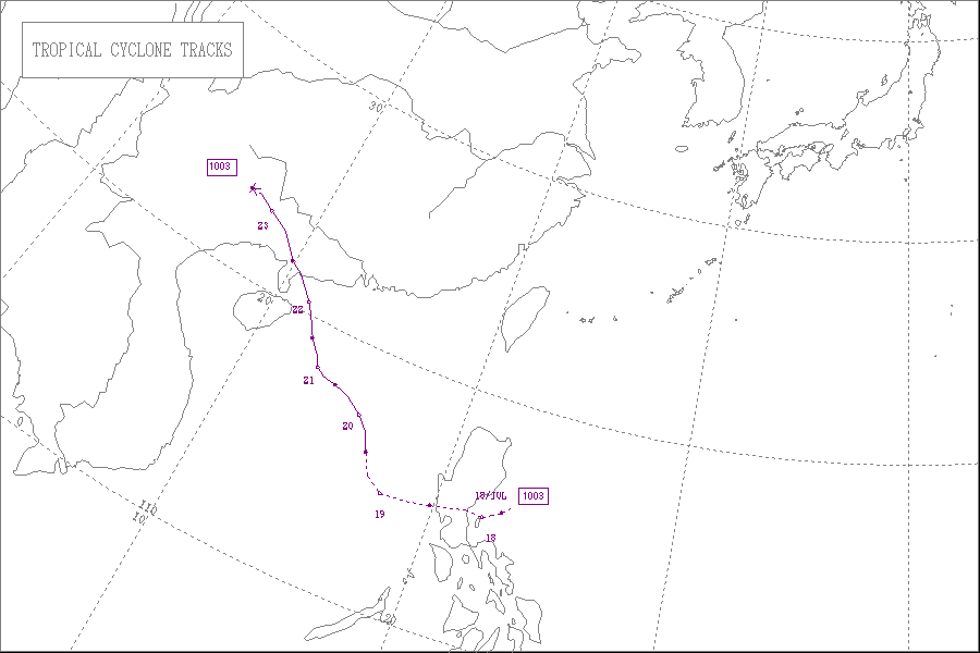
Typhoon Chanthu,known in the Philippines as Tropical Storm Caloy,was a weak typhoon that impacted southeastern China in the 2010 Pacific typhoon season. The storm formed on July 17,slowly moving to the Philippines,making direct landfall in Aurora. The storm later was later named respectively as Caloy and Chanthu. The storm later made its way to China,where the storm had its peak intensity. The storm later dissipated on July 23.
Contents
- Meteorological history
- Preparations and impact
- Philippines
- China
- Vietnam
- Aftermath
- See also
- References
- External links
As a result of the storm,there was heavy rainfall and flooding in the affected areas. In the Philippines,eight people died,with hundreds of stranded residents. In China,9 people were killed,with a CNY 5.54 billion (US$817.7 million) loss. In Vietnam,10 people died,with infrastructure damaged.

