Union Township | |
|---|---|
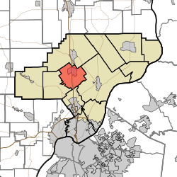 Location of Union Township in Clark County | |
| Coordinates: 38°28′26″N85°46′01″W / 38.47389°N 85.76694°W | |
| Country | United States |
| State | Indiana |
| County | Clark |
| Government | |
| • Type | Indiana township |
| Area | |
• Total | 21.08 sq mi (54.6 km2) |
| • Land | 20.85 sq mi (54.0 km2) |
| • Water | 0.23 sq mi (0.60 km2) |
| Elevation | 512 ft (156 m) |
| Population | |
• Total | 4,552 |
| • Density | 168.2/sq mi (64.9/km2) |
| FIPS code | 18-77174 [3] |
| GNIS feature ID | 453909 |
Union Township is one of twelve townships in Clark County, Indiana, United States. As of the 2010 census, its population was 3,507 and it contained 1,415 housing units. [4]
