Utica Township | |
|---|---|
 Countryside in the township | |
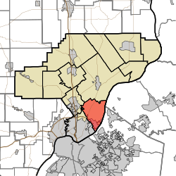 Location of Utica Township in Clark County | |
| Coordinates: 38°21′30″N85°40′29″W / 38.35833°N 85.67472°W | |
| Country | United States |
| State | Indiana |
| County | Clark |
| Government | |
| • Type | Indiana township |
| Area | |
• Total | 2.01 sq mi (5.2 km2) |
| • Land | 2.64 sq mi (6.8 km2) |
| • Water | 0.36 sq mi (0.93 km2) |
| Elevation | 548 ft (167 m) |
| Population | |
• Total | 866 |
| • Density | 278/sq mi (107/km2) |
| FIPS code | 18-78128 [3] |
| GNIS feature ID | 453941 |
Utica Township is one of twelve townships in Clark County, Indiana. As of the 2020 U.S. census, its population was 8,158 and it contained 3,324 housing units. [4]
