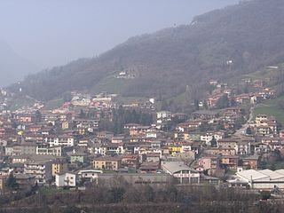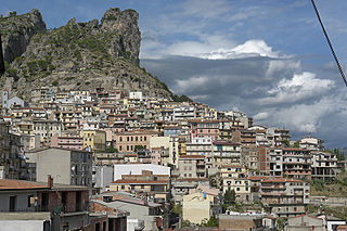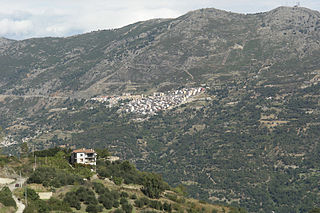
Alto is a comune (municipality) in the Province of Cuneo in the Italian region Piedmont, located about 110 kilometres (68 mi) south of Turin and about 45 kilometres (28 mi) southeast of Cuneo.

Bernezzo is a comune (municipality) in the Province of Cuneo in the Italian region Piedmont, located about 80 kilometres (50 mi) southwest of Turin and about 9 kilometres (6 mi) west of Cuneo.

Cartignano is a comune (municipality) in the Province of Cuneo in the Italian region Piedmont, located about 70 kilometres (43 mi) southwest of Turin and about 25 kilometres (16 mi) northwest of Cuneo.

Farigliano is a comune (municipality) in the Province of Cuneo in the Italian region Piedmont, located about 60 kilometres (37 mi) southeast of Turin and about 35 kilometres (22 mi) northeast of Cuneo. As of 31 December 2004, it had a population of 1,766 and an area of 16.4 square kilometres (6.3 sq mi).

Frassino is a comune (municipality) in the Province of Cuneo in the Italian region Piedmont, located about 60 kilometres (37 mi) southwest of Turin and about 30 kilometres (19 mi) northwest of Cuneo.

Nucetto is a comune (municipality) in the Province of Cuneo in the Italian region Piedmont, located about 90 kilometres (56 mi) southeast of Turin and about 40 kilometres (25 mi) east of Cuneo. As of 31 December 2004, it had a population of 451 and an area of 7.6 square kilometres (2.9 sq mi).

Robilante is a comune (municipality) in the Province of Cuneo in the Italian region Piedmont, located about 90 kilometres (56 mi) south of Turin and about 10 kilometres (6 mi) southwest of Cuneo. As of 31 December 2004, it had a population of 2,362 and an area of 24.9 square kilometres (9.6 sq mi).

Sanfrè is a comune (municipality) in the Province of Cuneo in the Italian region Piedmont, located about 35 kilometres (22 mi) south of Turin and about 45 kilometres (28 mi) northeast of Cuneo. As of 31 December 2004, it had a population of 2,602 and an area of 15.4 square kilometres (5.9 sq mi).

Venasca is a comune (municipality) in the Province of Cuneo in the Italian region Piedmont, located about 60 kilometres (37 mi) southwest of Turin and about 25 kilometres (16 mi) northwest of Cuneo. As of 31 December 2004, it had a population of 1,563 and an area of 20.4 square kilometres (7.9 sq mi).

Vernante is a comune (municipality) in the Province of Cuneo in the Italian region Piedmont, located about 90 kilometres (56 mi) south of Turin and about 15 kilometres (9 mi) south of Cuneo. As of 31 December 2004, it had a population of 1,307 and an area of 62.0 square kilometres (23.9 sq mi).

Rezzago is a comune (municipality) in the Province of Como in the Italian region Lombardy, located about 45 kilometres (28 mi) north of Milan and about 14 kilometres (9 mi) northeast of Como. As of 30 November 2012, it had a population of 317 and an area of 3.8 square kilometres (1.5 sq mi).

Antegnate is a comune (municipality) in the Province of Bergamo in the Italian region of Lombardy, located about 50 kilometres (31 mi) east of Milan and about 25 kilometres (16 mi) southeast of Bergamo.

Colzate is a comune (municipality) in the Province of Bergamo in the Italian region of Lombardy, located about 70 kilometres (43 mi) northeast of Milan and about 20 kilometres (12 mi) northeast of Bergamo. As of 31 December 2004, it had a population of 1,638 and an area of 6.7 square kilometres (2.6 sq mi).

Lenna is a comune (municipality) in the Province of Bergamo in the Italian region of Lombardy, located about 70 kilometres (43 mi) northeast of Milan and about 30 kilometres (19 mi) north of Bergamo. As of 31 December 2004, it had a population of 676 and an area of 12.9 square kilometres (5.0 sq mi).

Peia is a comune (municipality) in the Province of Bergamo in the Italian region of Lombardy, located about 70 kilometres (43 mi) northeast of Milan and about 20 kilometres (12 mi) northeast of Bergamo. As of 31 December 2004, it had a population of 1,817 and an area of 4.4 square kilometres (1.7 sq mi).

Piario is a comune (municipality) in the Province of Bergamo in the Italian region of Lombardy, located about 80 kilometres (50 mi) northeast of Milan and about 30 kilometres (19 mi) northeast of Bergamo. As of 31 December 2004, it had a population of 990 and an area of 1.5 square kilometres (0.58 sq mi).

Valleve is a comune (municipality) in the Province of Bergamo in the Italian region of Lombardy, located about 80 kilometres (50 mi) northeast of Milan and about 40 kilometres (25 mi) north of Bergamo. As of 31 December 2004, it had a population of 145 and an area of 14.9 square kilometres (5.8 sq mi).

Villa di Serio is a comune (municipality) in the Province of Bergamo in the Italian region of Lombardy, located about 50 kilometres (31 mi) northeast of Milan and about 6 kilometres (4 mi) northeast of Bergamo. As of 31 December 2004, it had a population of 6,118 and an area of 4.6 square kilometres (1.8 sq mi).

Ulassai is a comune (municipality) in the Province of Nuoro in the Italian region Sardinia, located about 70 kilometres (43 mi) northeast of Cagliari and about 20 kilometres (12 mi) southwest of Tortolì.


