Related Research Articles

Tynedale was a local government district in Northumberland, England. The district had a resident population of 58,808 according to the 2001 census. The main towns were Hexham, Haltwhistle and Prudhoe. The district contained part of Hadrian's Wall and the southern part of Northumberland National Park.

Etal Castle is a ruined medieval fortification in the village of Etal, Northumberland, England. It was built around 1341 by Robert Manners, and comprised a residential tower, a gatehouse and a corner tower, protected by a curtain wall. The castle was involved both in local feuding and the border wars between England and Scotland. There was a battle between the rival Manners and Heron families outside the walls in 1428, and in 1513 it was briefly captured by King James IV of Scotland during his invasion of England.

Smailholm Tower is a peel tower at Smailholm, around five miles (8 km) west of Kelso in the Scottish Borders. Its dramatic situation, atop a crag of Lady Hill, commands wide views over the surrounding countryside. The tower is located at grid reference NT637346, just west of Sandyknowe farm, and is now a Scheduled Ancient Monument in the care of Historic Environment Scotland. In June 2007, it was awarded the maximum "five-star" status as a tourist attraction from VisitScotland, a rating bestowed on only eight other sites in Scotland.

The Battle of Roslin on 24 February 1303 was a Scottish victory in the First War of Scottish Independence. It took place near the village of Roslin, where a force led by the Scots John Comyn and Sir Simon Fraser ambushed and defeated an English reconnaissance party under Lord John Segrave.

British Camp is an Iron Age hill fort located at the top of Herefordshire Beacon in the Malvern Hills. The hill fort is protected as a Scheduled Ancient Monument and is owned and maintained by Malvern Hills Conservators. The fort is thought to have been first constructed in the 2nd century BC. A Norman castle was built on the site.
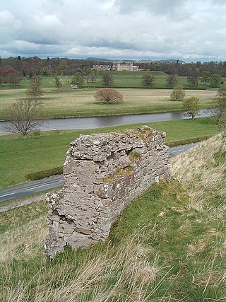
Roxburgh Castle is a ruined royal castle that overlooks the junction of the rivers Tweed and Teviot, in the Borders region of Scotland. The town and castle developed into the royal burgh of Roxburgh, which the Scots destroyed along with the castle after capturing it in 1460. Today the ruins stand in the grounds of Floors Castle, the seat of the Duke of Roxburghe, across the river from Kelso.
Faringdon Castle was a Norman castle standing just outside the market town of Faringdon in the English county of Berkshire, some 17 km to the northeast of Swindon.

The Anglo-Scottish border is an internal border of the United Kingdom separating Scotland and England which runs for 96 miles (154 km) between Marshall Meadows Bay on the east coast and the Solway Firth in the west.
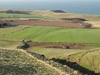
The Battle of Piperdean was an engagement in the Scottish Borders, fought on 10 September 1435 between the Kingdom of Scotland and the Kingdom of England.
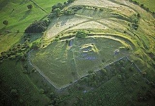
Castell Dinas is a hillfort and castle in southern Powys, Wales. At 450 m (SO179301) it has the highest castle in England and Wales. It is positioned to defend the Rhiangoll pass between Talgarth and Crickhowell.
Rochdale Castle was a motte-and-bailey castle in Rochdale, Greater Manchester, England. It was built in the period shortly after the Norman conquest of England.

Ballencrieff Castle, also known as Ballencrieff House, is a large tower house at Ballencrieff, East Lothian, Scotland. It is located three miles north west of Haddington, and one mile south of Aberlady.
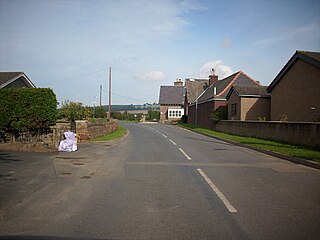
Eckford is a small village located between the larger towns of Kelso and Jedburgh in the Scottish Borders. The village is in close proximity to both the River Teviot and its tributary the Kale Water, and the A698 and the B6401 which run approximately parallel to the respective rivers.
Dumfries Castle was a royal castle that was located in Dumfries, Scotland. It was sited by the River Nith, in the area now known as Castledykes Park.
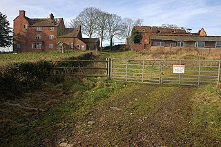
Castle Hill or Baron Hill is about a mile from the hamlet of Kingsford in the civil parish of Wolverley and Cookley, Worcestershire.
South Cerney Castle was an adulterine castle of Motte and bailey construction built in South Cerney, Gloucestershire in the mid-12th century. Today only slight earthwork remains and they are a scheduled monument.

Wark railway station is a disused railway station which served the village of Wark on Tyne, Northumberland, England. Located on the Border Counties Railway, the station was possibly opened on 1 December 1859, but was definitely open by 1 April 1860. The station was originally connected to the village by a wooden bridge over the River Tyne but this was replaced by an iron bridge in 1878. There was a single platform, a small goods shed with a signal box being added in 1896. It was closed to passengers on 15 October 1956 and completely on 1 September 1958.

Wark on Tweed Castle, sometimes referred to as Carham Castle, is a ruined motte-and-bailey castle at the West end of Wark on Tweed in Northumberland. The ruins are a Grade II* listed building.

TheShore is a historic and picturesque street in the centre of Old Leith, the harbour area of Edinburgh.

The siege of Wark is a 1138 siege of Wark on Tweed Castle conducted from May–November by Scottish forces under David I against the defending English garrison. The siege was part of a campaign launched by David in support of his niece, the Empress Matilda, and her claim to the English throne over that of Stephen of Blois who had seized the throne in 1135. The invasion followed a similar campaign in 1136 when David had succeeded in gaining control of Cumberland, and raids launched in 1137 and earlier in 1138.
References
- Notes
- ↑ King 1983, p.343
- ↑ "Wark Castle", Pastscape, English Heritage, retrieved 11 November 2011
- Bibliography
- Cathcart King, David J. (1983), Castellarium Anglicanum: An Index and Bibliography of the Castles in England, Wales and the Islands. Volume I: Anglesey–Montgomery, Kraus International Publications
55°05′08″N2°13′10″W / 55.0855985°N 2.2194153°W
