Watson, Kansas | |
|---|---|
 Albert Neese Masonic Lodge (2025) | |
 | |
 Watson  Watson | |
| Coordinates: 38°59′17″N95°33′23″W / 38.98806°N 95.55639°W [1] | |
| Country | United States |
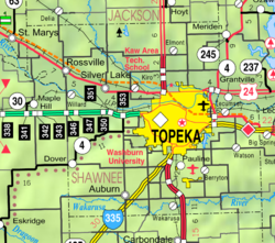
| State | Kansas |
| County | Shawnee |
| Township | Monmouth |
| Elevation | 1,083 ft (330 m) |
| Time zone | UTC-6 (CST) |
| • Summer (DST) | UTC-5 (CDT) |
| Area code | 785 |
| FIPS code | 20-76010 |
| GNIS ID | 479095 [1] |
Watson is an unincorporated community in Shawnee County, Kansas, United States. [1]
