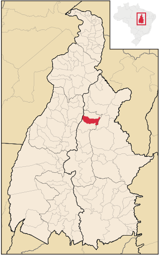
Ananás is a municipality located in the Brazilian state of Tocantins. Its population was 9,492 (2020) and its area is 1,577 km².

Araguanã is a municipality located in the Brazilian state of Tocantins. Its population was 5,793 (2020) and its area is 836 km².

Barra do Ouro is a municipality located in the Brazilian state of Tocantins. Its population is estimated at 4,632 (2020) and its area is 1,106 km².

Bom Jesus do Tocantins is a municipality located in the Brazilian state of Tocantins. Its population is estimated at 5,008 (2020), and its area is 1333 km2.
Santa Vitória is a municipality in the west of the Brazilian state of Minas Gerais. As of 2020, the population was estimated at 19,872. It became a municipality in 1948.

Urupema is a municipality in the state of Santa Catarina in the South region of Brazil. It has an area of approximately 353 km², a population of 2,656 inhabitants as of 2022 and a GDP per capita of R$ 36,058 as of 2021. It is often cited as the coldest city in Brazil.

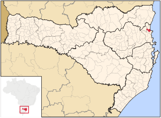
Balneário Piçarras is a municipality in the state of Santa Catarina in the South region of Brazil.
Sucupira do Riachão is a municipality in the state of Maranhão in the Northeast region of Brazil.
Santa Cruz de Monte Castelo is a municipality in the state of Paraná in the Southern Region of Brazil.
Piraquê is a municipality in the state of Tocantins in the Northern region of Brazil.
Santa Fé do Araguaia is a municipality in the state of Tocantins in the Northern region of Brazil.
Santa Terezinha do Tocantins is a municipality in the state of Tocantins in the Northern region of Brazil.
Santa Rita do Tocantins is a municipality in the state of Tocantins in the Northern region of Brazil.
São Salvador do Tocantins is a municipality in the state of Tocantins in the Northern region of Brazil.
Tabocão is a municipality in the state of Tocantins in the Northern region of Brazil.
Santa Rosa do Tocantins is a municipality in the state of Tocantins in the Northern region of Brazil.

Santa Tereza do Tocantins is a municipality in the state of Tocantins in the Northern region of Brazil.
Esperantina is a municipality in the state of Tocantins in the Northern region of Brazil.

Riachinho is a municipality in the state of Tocantins in the Northern region of Brazil.
The Lago de Santa Isabel Environmental Protection Area is an environmental protection area in the state of Tocantins, Brazil. It was created to protect the shores of the reservoir of a planned hydroelectric dam, which has not been given an environmental license. Vegetation is in the Amazon biome.


