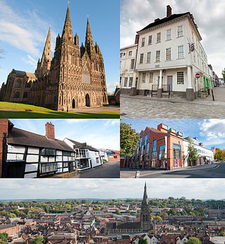
Lichfield is a cathedral city and civil parish in Staffordshire, England. Lichfield is situated 18 miles (29 km) south-east of Stafford, 9 miles (14 km) north-east of Walsall, 8 miles (13 km) north-west of Tamworth and 13 miles (21 km) south-west of Burton Upon Trent. At the time of the 2021 Census, the population was 34,738 and the population of the wider Lichfield District was 106,400.
Stone is a market town and civil parish in Staffordshire, England, situated approximately 7 miles north of the county town of Stafford, 7 miles south of Stoke-on-Trent, and 15 miles north of Rugeley. As a notable canal town, Stone is recognised for its rich history, originating from the early Bronze Age and continuing through the Industrial Revolution, with the introduction of the Trent and Mersey Canal shaping the town's development and local industry.
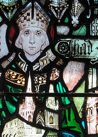
Chad was a prominent 7th-century Anglo-Saxon Catholic monk who became abbot of several monasteries, Bishop of the Northumbrians and subsequently Bishop of the Mercians and Lindsey People. He was later canonised as a saint.

Tutbury is a village and civil parish in Staffordshire, England. It is 4 miles (6.4 km) north of Burton upon Trent and 20 miles (32 km) south of the Peak District. The village has a population of about 3,076 residents. It adjoins Hatton to the north on the Staffordshire–Derbyshire border.

Gnosall is a village and civil parish in the Borough of Stafford, Staffordshire, England, with a population of 4,736 across 2,048 households. It lies on the A518, approximately halfway between the towns of Newport and the county town of Staffordshire, Stafford. Gnosall Heath lies immediately south-west of the main village, joined by Station Road and separated by Doley Brook. Other nearby villages include Woodseaves, Knightley, Cowley, Ranton, Church Eaton, Bromstead Heath, Moreton, and Haughton.

Staffordshire is a landlocked county in the West Midlands of England. It adjoins Cheshire to the north west, Derbyshire and Leicestershire to the east, Warwickshire to the south east, West Midlands and Worcestershire to the south, and Shropshire to the west. The historic county of Staffordshire includes Wolverhampton, Walsall, and West Bromwich, these three being removed for administrative purposes in 1974 to the new West Midlands authority. The resulting administrative area of Staffordshire has a narrow southwards protrusion that runs west of West Midlands to the border of Worcestershire. The city of Stoke-on-Trent was removed from the admin area in the 1990s to form a unitary authority, but is still part of Staffordshire for ceremonial and traditional purposes.
Hixon is a village and a civil parish in the English county of Staffordshire.
grid reference SK003259
Adbaston is a village and a civil parish in the English county of Staffordshire.
Smallthorne is an area in the city of Stoke-on-Trent in Staffordshire, England. It is in the north-east of the city, near Burslem. Smallthorne borders Bradeley and Chell in the north, Norton-in-the-Moors in the east, Sneyd Green in the south, and Burslem in the west.

Penkhull is a district of the city of Stoke-on-Trent, Staffordshire, England, part of Penkhull and Stoke electoral ward, and Stoke Central parliamentary constituency.

The Middle Angles were an important ethnic or cultural group within the larger kingdom of Mercia in England in the Anglo-Saxon period.

Stoke Lyne is a village and civil parish about 4 miles (6.4 km) north of Bicester, Oxfordshire in southern England.

Newborough is a village and civil parish in the county of Staffordshire, England. It is located 3 miles (5 km) south west of Hanbury and 8 miles (13 km) west of Burton-upon-Trent. Newborough has a pub, a school and a church. At the 2011 UK census, the population stood at 476, comprising 240 males and 236 females. Newborough is part of the Yoxall ward of East Staffordshire.

Oulton is a small village in the English county of Staffordshire. The village is located north of the market town of Stone and near to the Trent and Mersey Canal. In 2020 it had an estimated population of 597.

Staffordshire is a county in the West Midlands region of England. In 1974 the historical county of Staffordshire was combined with the unitary authority of Stoke-on-Trent to form the ceremonial county of Staffordshire.

Milwich is a village and a civil parish in the English county of Staffordshire.
The Two Saints Way is a recreated pilgrimage route of 92 miles between the cathedral cities of Chester in Cheshire and Lichfield in Staffordshire. The two saints referenced are St Werburgh and St Chad. The route partly follows the Heart of England Way and is around 95% waymarked.
Tittesworth is a civil parish in the Staffordshire Moorlands, in Staffordshire, England. It extends from the edge of the town of Leek in the south-west to Blackshaw Moor in the north-east. In the east is the village of Thorncliffe. To the west is the civil parish of Leekfrith, where the boundary is the River Churnet.To the east is the civil parish of Onecote. Tittesworth Brook runs westwards through the area from Thorncliffe, and flows into the Churnet.

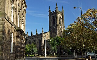
St John the Baptist's Church is an Anglican church in Burslem, Stoke-on-Trent, Staffordshire, England. It is a Grade II listed building.