Dabaga is a town and rural commune in the Agadez Region of northern Niger. The town is situated around 50 kilometers north of the regional capital, Agadez, on the main road leading north into the Aïr Mountains and the town of Elmeki. Like the nearby communities of Azel, Elmeki and Egandawel, Dabaga is an oasis in the Aïr Massif valleys, populated by both sedentary and semi-nomadic Tuaregs and small numbers of Hausa and other groups. According to UNICEF, Dabaga had a permanent population of 35,000 in early 2007, mostly families of Tuareg pastoralists, where the adult males traveled with their herds.
Chetimari is a large village and rural commune in Niger, located along National Highway 1, several kilometres north of the Nigerian border. As of 2011, the commune had a population of 66,845.

Dannet is a village and rural commune in Niger. As of 2012, the commune had a population of 14,964 people.
Falenko is a village and rural commune in the Tanout Department of the Zinder Region of Niger.

Harikanassou is a large village and rural commune in the Boboye Department of the Dosso Region of southwest Niger, 90.7 kilometres (56.4 mi) by road southeast of the capital of Niamey. At the time of the 2012 census, the rural community had 23,567 residents living in 3,340 households. Onion cultivation is a chief source of income for many, along with the cultivation of lettuce, beans, squashes, and tomatoes.

Inates is a village and rural commune in the Tillabéri Region of Niger. As of 2012, it had a population of 23,503.
Kablewa is a village and rural commune in Niger.
Kankandi is a village and rural commune in Niger. As of 2012, it had a population of 16,565.
Koygolo is a village and rural commune in Niger. As of 2012, it had a population of 48,218.
N'Gourti is a village and rural commune in Niger.
Namaro is a village and rural commune in Niger. As of 2012, it had a population of 55,094.
Sinder is a rural commune located in the Tillabéri region of Niger and is home to the Wogo people. The primary language spoken is Wogo ciné, which belongs to the Songlai/Zarma family of languages. The primary occupations in Sinder are agriculture and fishing. Staple crops in the region include rice, maize, pepper, onions, and cereals such as manioc, millet, and sorghum, as well as Okoro during the rainy season.
Tabotaki is a village and rural commune in Niger. As of 2012, it had a population of 46,266.
Tagazar is a village and rural commune in Niger. As of 2012, it had a population of 107,134.
Tama, Niger is a village and rural commune in Niger. As of 2012, it had a population of 52,661.
Tamaya, Niger is a village and rural commune in Niger.
Tchadoua is a village and rural commune in Niger. As of 2012, it had a population of 93,208.
Tillia is a village and rural commune in Niger.
Tirmini is a village and rural commune in Niger.
Torodi is a small town and a rural commune in Niger. As of 2012, it had a population of 109,342. As a rural center, Torodi hosts a large weekly market and the seat of local tribal authority (canton). Torodi is in the Say Department of the Tillaberi Region, which surrounds the national capital, Niamey. Say Department, with its capital at the large Niger River town of Say, abuts Niamey to the southwest and across the river to the west. The town of Torodi lies about 60 km due west of the city of Say and 50 km east of the border with Burkina Faso. Torodi itself lies on a tributary of the Niger, the Gourbi river.
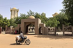
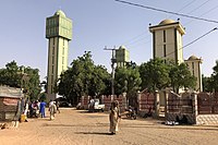 The grand mosque of Kiota
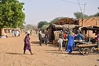 Street scene in Kiota
