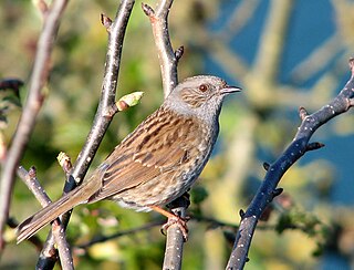
Stanmore Common is a 49.2-hectare public park, Local Nature Reserve and Site of Metropolitan Importance for Nature Conservation in Stanmore in the London Borough of Harrow in England. It is owned by Harrow Council and managed by the council with a local group. It was a biological Site of Special Scientific Interest, but was de-notified in the early 1990s.

Morden Park is a 50 hectare public park and Site of Borough Importance for Nature Conservation, Grade 1, in the district of Morden Park in the London Borough of Merton. An area of 28 hectares is also a Local Nature Reserve. It is owned and managed by Merton Council. The site includes the Morden Park mound, a Scheduled Ancient Monument, and Pyl Brook runs through the park.
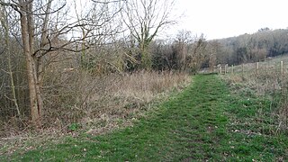
Foxley Wood is an 11.36 hectare Local Nature Reserve and Site of Borough Importance for Nature Conservation, Grade 1, in Purley in the London Borough of Croydon. It is owned and managed by Croydon Council. The site was purchased by Coulsdon and Purley Urban District Council under the Green Belt Act in the 1930s.

Roundshaw Downs is a 52.7 hectare Site of Metropolitan Importance for Nature Conservation Roundshaw in the London Boroughs of Sutton and Croydon. An area of 19.6 hectares in Sutton is also a local nature reserve. In the nineteenth century the area was farmland, and in the first half of the twentieth it was Croydon Airport.
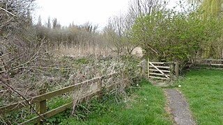
Spencer Road Wetlands is a one hectare Local Nature Reserve in Mitcham in the London Borough of Sutton. It is owned by Sutton Council and managed by the London Wildlife Trust.

Wandle Valley Wetland is a 0.6 hectare Local Nature Reserve in Carshalton in the London Borough of Sutton. It is owned by the Council and managed by the Council together with Sutton Nature Conservation Volunteers.

Wilderness Island is the 2.7 hectare island between the Wandle and Wrythe in Carshalton in the London Borough of Sutton. It is designated a Local Nature Reserve and a Site of Metropolitan Importance for Nature Conservation, is owned by Sutton Council and is managed by the London Wildlife Trust.

Devonshire Avenue Nature Area is a 0.4 hectare Local Nature Reserve and Site of Borough Importance for Nature Conservation, Grade II, in South Sutton in the London Borough of Sutton. It is owned by Sutton Council and managed by the Council and Sutton Nature Conservation Volunteers.

Sutton Ecology Centre Grounds is a 1.3 hectare Local Nature Reserve and Site of Borough Importance for Nature Conservation, Grade 1, in Carshalton in the London Borough of Sutton. It is owned by Sutton Council and managed by the Council together with the Friends of Sutton Ecology Centre.

Anton Crescent Wetland is a one hectare Local Nature Reserve in Sutton in the London Borough of Sutton. It is owned by Sutton Council and managed by the council together with Sutton Nature Conservation Volunteers.

Belmont Pastures is a 1.3 hectare Local Nature Reserve and Site of Borough Importance for Nature Conservation, Grade II, in Belmont in the London Borough of Sutton. It is owned by Sutton Council and managed by the council together with Sutton Nature Conservation Volunteers.

Cuddington Meadows is a 1.4 hectare Local Nature Reserve and Site of Borough Importance for Nature Conservation, Grade I, in Belmont in the London Borough of Sutton. It is owned by Sutton Council and managed by the council together with Sutton Nature Conservation Volunteers.

Cherry Wood is a 1.8 hectare Local Nature Reserve and Site of Borough Importance for Nature Conservation, Grade II, in Morden Park in the London Borough of Merton. It is owned by Merton Council and managed by the council together with the Friends of Cherry Wood.

Myrna Close is a linear walk along the line of a former railway line in Colliers Wood in the London Borough of Merton. It is a 0.75 hectare Local Nature Reserve and a Site of Borough Importance for Nature Conservation, Grade II, which is owned and managed by Merton Council.
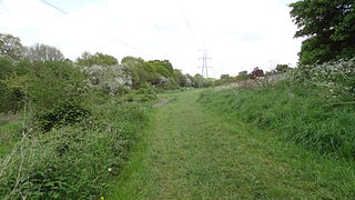
Bonesgate Open Space is a public park, Local Nature Reserve (LNR) and Site of Borough Importance for Nature Conservation, Grade 1, in Chessington in the Royal Borough of Kingston upon Thames in London. It has an area of 5.07 hectares, and was designated an LNR in 1994.
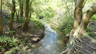
Castle Hill is a 3.5 hectare Scheduled Ancient Monument, Local Nature Reserve and Site of Borough Importance for Nature Conservation, Grade 1, in Chessington in the Royal Borough of Kingston upon Thames, London. It is owned by Merton College, Oxford, and leased to Kingston Council. The site is managed by the Lower Mole Countryside Management Project.

Lonsdale Road Reservoir is a disused reservoir in Barnes in the London Borough of Richmond upon Thames. It is an 8.2 hectare Local Nature Reserve and Site of Borough Importance for Nature Conservation, Grade 1, owned and managed by Richmond upon Thames London Borough Council.

Northaw Great Wood is a 223.6 hectare biological Site of Special Scientific Interest (SSSI) near Cuffley in Hertfordshire, England. It covers Northaw Great Wood Country Park, which is managed by Welwyn Hatfield Borough Council, Well Wood, Justice Hill and Grimes Bottom. Part of the site is managed by Hertfordshire County Council as a schools' park. The country park is also a local nature reserve.

Spring Lane Meadows or Lexden Springs is a 2 hectare Local Nature Reserve in Lexden, a suburb of Colchester in Essex. It is owned and managed by Colchester Borough Council.


