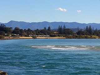
The Mid North Coast is a country region in the north-east of the state of New South Wales, Australia. The region covers the mid to north coast of the state, beginning at Seal Rocks, 275 km (171 mi) north of Sydney, and extending as far north as Woolgoolga, 562 km (349 mi) north of Sydney, a distance of roughly 400 km (250 mi).
Orara River, a perennial stream of the Clarence River catchment, is located in the Northern Rivers district of New South Wales, Australia.

The Waterfall Way is a road in New South Wales, Australia. It runs east-west from the Pacific Highway to the New England Highway at Armidale. The route passes through some of New South Wales' most scenic countryside and has become well known as New South Wales best and Australia's third most beautiful tourist drive. Seven national parks, of which three are listed as World Heritage Areas by UNESCO and form part of the Gondwana Rainforests of Australia, are located on or close to the route. Dorrigo National Park encompasses the waterfalls that give the route its name. It also provides one of the few road links between coastal and inland New South Wales, and is therefore more heavily trafficked than its condition might otherwise suggest.

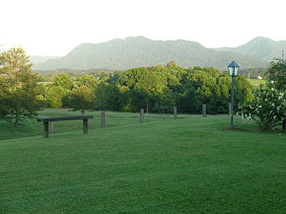
Bellingen Shire is a local government area in the mid north coast region of New South Wales, Australia. The Shire is located adjacent to the Pacific Highway, Waterfall Way and the North Coast railway line.

The Dorrigo railway line is a closed railway line in the north of New South Wales, Australia. It branches from the North Coast line at Glenreagh.

The Dorrigo Plateau is a plateau in the Northern Tablelands and New England regions of New South Wales, Australia. The plateau forms part of the Great Dividing Range and is sometimes referred to as the Dorrigo and Guy Fawkes Plateau.

Point Lookout, a mountain on the Snowy Range, a spur of the Great Dividing Range, is located in the New England National Park on the eastern edge of the Northern Tablelands in the New England region of New South Wales, Australia.

Bellinger River, an open and trained mature wave dominated, barrier estuary, is located in the Mid North Coast region of New South Wales, Australia.

The Nymboida River, a perennial stream of the Clarence River catchment, is located in the Northern Rivers region of New South Wales, Australia.
Never Never River, a perennial stream of the Bellinger River catchment, is located in the Mid North Coast region of New South Wales, Australia.

Bostobrick is a village located on Tyringham Road in northern New South Wales, Australia. Bostobrick was settled from the west in 1857, when cedar getters came to harvest the timber in what was then known as 'Bostobrick Scrub'.

The Newell Falls is a waterfall on an unnamed stream that is located in the New England region of New South Wales, Australia.
The Sherrard Falls is a cascade waterfall on an unnamed stream that is located in the New England region of New South Wales, Australia.
Dorrigo Mountain, a mountain on the Great Dividing Range, is located in the Northern Tablelands region of New South Wales, Australia.
Rosewood River, a perennial river of the Bellinger River catchment, is located in the Mid North Coast region of New South Wales, Australia.
The Bellingen Shire Courier-Sun is a weekly newspaper published in Bellingen, New South Wales, Australia. It has been published under a variety of titles since 1889, including The Northern Courier, The Raleigh Sun, Seaboard Valley Star and The Bellinger Courier-Sun.
Oxley is an electoral district of the Legislative Assembly in the Australian state of New South Wales.

The Nambucca and Bellinger News was a weekly English language newspaper published in Bowraville in the Nambucca Shire of New South Wales, Australia from 1911-1945. It was also published as Nambucca News: Bellingen Chronicle,The Nambucca District News,The Nambucca Guardian News,Guardian Gazette and TheNambucca Valley Guardian News.