Woods Mill is an unincorporated community in Nelson County, Virginia, United States. It was among the communities severely affected by flash flooding from Hurricane Camille in 1969. [1]
Woods Mill is an unincorporated community in Nelson County, Virginia, United States. It was among the communities severely affected by flash flooding from Hurricane Camille in 1969. [1]
Municipalities and communities of Nelson County, Virginia, United States | ||
|---|---|---|
| CDPs | 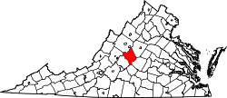 | |
| Other communities |
| |
| Footnotes | ‡This populated place also has portions in an adjacent county or counties | |
37°50′42″N78°49′20″W / 37.84500°N 78.82222°W
| | This Nelson County, Virginia state location article is a stub. You can help Wikipedia by expanding it. |