
Collect Pond, or Fresh Water Pond, was a body of fresh water in what is now Chinatown in Lower Manhattan, New York City. For the first two centuries of European settlement in Manhattan, it was the main New York City water supply system for the growing city. The location of the former pond later became the site of a jail, and is now memorialized by Collect Pond Park, which includes a reflecting pool to acknowledge the historic importance of this body of water.

The South Street Seaport is a historic area in the New York City borough of Manhattan, centered where Fulton Street meets the East River, within the Financial District of Lower Manhattan. The Seaport is a designated historic district. It is part of Manhattan Community Board 1 in Lower Manhattan, and is next to the East River to the southeast and the Two Bridges neighborhood to the northeast.

South Ferry is at the southern tip of Manhattan in New York City and is the embarkation point for ferries to Staten Island and Governors Island. Battery Park, abutting South Ferry on the west, has docking areas for ferries to Liberty Island and Ellis Island. Its name is derived from the more southerly route of service of the historical South Ferry Company in comparison to the Fulton Ferry.

Dumbo is a neighborhood in the New York City borough of Brooklyn. The area used to be known as Gairville. It encompasses two sections: one located between the Manhattan and Brooklyn Bridges, which connect Brooklyn to Manhattan across the East River, and another that continues east from the Manhattan Bridge to the Vinegar Hill area. The neighborhood is bounded by Brooklyn Bridge Park to the north, the Brooklyn Bridge to the west, Brooklyn Heights to the south and Vinegar Hill to the east. Dumbo is part of Brooklyn Community Board 2.
Fulton Ferry is a small area adjacent to Dumbo in the New York City borough of Brooklyn. The neighborhood is named for the Fulton Ferry, a prominent ferry line that crossed the East River between Manhattan and Brooklyn, and is also the name of the ferry slip on the Brooklyn side. The neighborhood is part of Brooklyn Community District 2.
Vanderbilt Avenue is the name of three thoroughfares in the New York City boroughs of Brooklyn, Manhattan, and Staten Island. They were named after Cornelius Vanderbilt (1794–1877), the builder of Grand Central Terminal in Midtown Manhattan.
New York's 10th congressional district is a congressional district for the United States House of Representatives currently represented by Democrat Dan Goldman. The district contains all of Lower Manhattan and the western Brooklyn neighborhoods of Brooklyn Heights, DUMBO, Cobble Hill, Red Hook, Gowanus, Prospect Heights, Park Slope, and Sunset Park. The district also contains portions of Borough Park and Bay Ridge in Brooklyn, and all of Prospect Park. In Upper New York Harbor, the district includes Governors Island, Liberty Island and the Statue of Liberty, and parts of Ellis Island.

South Street is a street in Lower Manhattan, New York City, located immediately adjacent to the East River. It runs from Whitehall Street near the southern tip of Manhattan to Jackson Street near the Williamsburg Bridge. The Franklin D. Roosevelt East River Drive, in an elevated portion known as the South Street Viaduct, runs along the entire length of the street.

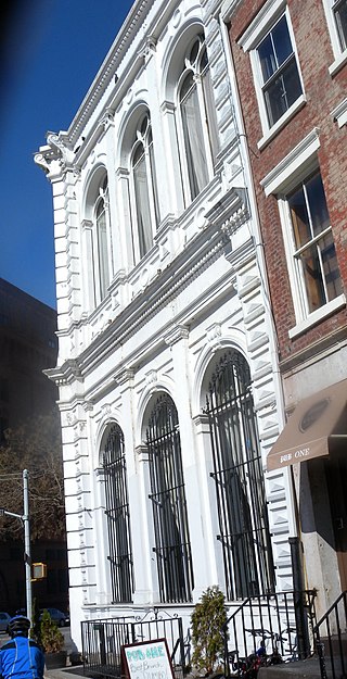
Bridge Cafe was a historic restaurant and bar located at 279 Water Street in the South Street Seaport area of Manhattan, New York City, United States. The site was originally home to "a grocery and wine and porter bottler", opened in 1794, and has been home to a series of drinking and eating establishments. In the nineteenth century, the building was described in city directories variously as a grocery, a porterhouse, or a liquor establishment. Henry Williams operated a brothel there from 1847 to 1860 and the prostitutes were listed in the New York City census of 1855. In 1888, the building's exterior was altered to its present form. The building was damaged during Hurricane Sandy, and the restaurant remains closed as of 2020. Until its closure, it was the city's oldest continuous business establishment, though the name and ownership had changed numerous times. It had most recently been under the same ownership since 1979, when the former McCormick’s, a bar frequented by local fishmongers, was purchased by Jack Weprin and converted into The Bridge Cafe, a white tablecloth establishment.

South Ferry was a ferry landing on the Brooklyn side of the East River, at the foot of Atlantic Avenue below the Brooklyn Heights neighborhood. It is now Piers 5 and 6 in Brooklyn Bridge Park.

The Manhattan Waterfront Greenway is a waterfront greenway for walking or cycling, 32 miles (51 km) long, around the island of Manhattan, in New York City. The largest portions are operated by the New York City Department of Parks and Recreation. It is separated from motor traffic, and many sections also separate pedestrians from cyclists. There are three principal parts — the East, Harlem and Hudson River Greenways.

The Peck Slip Ferry was a pre-Brooklyn Bridge ferry route connecting Manhattan and Williamsburg, Brooklyn, New York City, United States, joining Peck Slip (Manhattan) and Broadway (Brooklyn) across the East River.

The Titanic Memorial is a 60-foot-tall (18 m) lighthouse at Fulton and Pearl Streets in the Financial District of Lower Manhattan in New York City. It was built, due in part to the instigation of Margaret Brown, to remember the people who died on the RMS Titanic on April 15, 1912. Its design incorporates the use of a time ball.

Front Street is a street on the southeastern side of Lower Manhattan, New York City, running southwest from Dover Street near the Brooklyn Bridge through South Street Seaport to Fulton Street in the Financial District.

Broadway is an avenue in the New York City borough of Brooklyn that extends from the East River in the neighborhood of Williamsburg in a southeasterly direction to East New York for a length of 4.32 miles (6.95 km). It was named for the Broadway in Manhattan. The East New York terminus is a complicated intersection with East New York Avenue, Fulton Street, Jamaica Avenue, and Alabama Avenue. The BMT Jamaica Line of the New York City Subway runs on elevated tracks over Broadway from the Williamsburg Bridge to East New York on its way to Queens. Broadway forms the boundary between the neighborhoods of Bushwick, which lies above Broadway to the northeast, and Bedford–Stuyvesant, which is to the southwest.

The East River Greenway is an approximately 9.44-mile-long (15.19 km) foreshoreway for walking or cycling on the east side of the island of Manhattan on the East River. It is part of the Manhattan Waterfront Greenway. The largest portions are operated by the New York City Department of Parks and Recreation. It is separated from motor traffic, and many sections also separate pedestrians from cyclists. The greenway is parallel to the Franklin D. Roosevelt East River Drive for a majority of its length.

Liberty Street Ferry Terminal or Liberty Street Terminal was the Central Railroad of New Jersey's passenger ferry slip in lower Manhattan, New York City and the point of departure and embarkation for passengers travelling on the Central Railroad of New Jersey, Baltimore and Ohio Railroad, Reading Railroad and the Lehigh Valley Railroad from the Communipaw Terminal across the Hudson River in Jersey City.


