The Indigirka is a river in the Sakha Republic in Russia between the Yana to the west and the Kolyma to the east. It is 1,726 kilometres (1,072 mi) long. The area of its basin is 360,000 square kilometres (140,000 sq mi).

The Chersky Range is a chain of mountains in northeastern Siberia between the Yana and Indigirka Rivers. Administratively, the area of the range belongs to the Sakha Republic, although a small section in the east is within Magadan Oblast. The highest peak in the range is the 3,003-metre (9,852 ft)-tall Peak Pobeda, part of the Ulakhan-Chistay Range. The range also includes important places of traditional Yakut culture, such as Ynnakh Mountain (Mat'-Gora) and kigilyakh rock formations.
Druzhina is a village in Abyysky Ulus of the Sakha Republic, Russia, a port by the left bank of the Indigirka River. It is located in the Aby Lowland, about 2,800 km northeast of Yakutsk and 120 km southwest from the Belaya Gora, ulus' administrative center. Druzhina served as the administrative center of then Abyysky District until 1974.

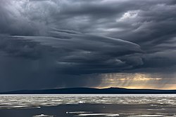
Lake Ozhogino is a large shallow freshwater lake in Sakha, Russia. It has an area of 157 km². It freezes up in late September and stays icebound until June. Ozhogin River flows from the lake.

Abyysky District is an administrative and municipal district, one of the thirty-four in the Sakha Republic, Russia. It is located in the north of the republic around the Indigirka River and borders with Allaikhovsky District in the north, Srednekolymsky District in the east, Verkhnekolymsky District in the southeast, Momsky District in the south, and with Ust-Yansky District in the west. The area of the district is 69,400 square kilometers (26,800 sq mi). Its administrative center is the urban locality of Belaya Gora. As of the 2010 Census, the total population of the district was 4,425, with the population of Belaya Gora accounting for 50.7% of that number.

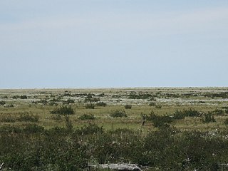
The Kolyma Lowland is a lowland plain in the northeastern parts of Sakha Republic in the basin of the Alazeya, Bolshaya Chukoch'ya and lower reaches of the Kolyma rivers. The lowland is formed by fluvio-lacustrine loam soil about 120 m thick. The climate is subarctic.
The Selennyakh is a river in Sakha Republic, Russia. It is a left tributary of the Indigirka.

Suturuokha is a rural locality, the only inhabited locality, and the administrative center of Urasalakhsky Rural Okrug of Abyysky District in the Sakha Republic, Russia, located 3 kilometers (1.9 mi) from Belaya Gora, the administrative center of the district, on the opposite bank of the Indigirka river.
The Alazeya Plateau is a mountain plateau in the Sakha Republic, Far Eastern Federal District, Russia. The area is named after river Alazeya, which has its source in the plateau.

The Polousny Range is a mountain range in the Sakha Republic, Far Eastern Federal District, Russia.

Suturuokha is a freshwater lake in the Sakha Republic, Russia. It lies in the middle course area of the Indigirka River, to the west of it. Administratively the lake is part of Aby District (Aby Ulus).
The Druzhina is a river in Yakutia in Russia, a left tributary of the Indigirka.
The Moma Range is a range of mountains in far North-eastern Russia. Administratively the range is part of the Sakha Republic of the Russian Federation. The nearest town is Khonuu, served by Moma Airport.

The Ulakhan-Sis Range is a mountain range in the Sakha Republic, Far Eastern Federal District, Russia.

The Yana-Indigirka Lowland is a large, low alluvial plain located in northern Siberia, Far Eastern Federal District, Russia.

The Chondon is a river in Ust-Yansky District, Sakha Republic (Yakutia), Russia. It is 606 kilometres (377 mi) long, with a drainage basin of 18,900 square kilometres (7,300 sq mi).
The Selennyakh Range is a range of mountains in far North-eastern Russia. Administratively the range is part of the Sakha Republic of the Russian Federation. The town of Deputatsky, capital of the Ust-Yansky District, is located in the area of the range.
Kyun-Tas is a mountain range in the Sakha Republic, Far Eastern Federal District, Russia.
The East Siberian Lowland, also known as Yana-Kolyma Lowland, is a vast plain in North-eastern Siberia, Russia. The territory of the lowland is one of the Great Russian Regions. Administratively, it is a part of the Sakha Republic (Yakutia).

The Great Russian Regions are eight geomorphological regions of the Russian Federation displaying characteristic forms of relief. Seven of them are parts of Siberia, located east of the Ural Mountains.