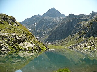
Monte Granero is a peak in the Cottian Alps, in western Piedmont, northern Italy. It has an elevation of 3,170 m. It is located between the Val Pellice and the Valle Po, not far from the boundary with France.

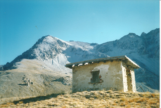
Mont d'Ambin or Rocca d'Ambin is a mountain on the border of Savoie, France and of the Province of Turin, Italy. It lies in the Ambin group of the Cottian Alps. On the Italian side, it commands the view of the Val di Susa. It has an elevation of 3,378 metres (11,083 ft) above sea level. The Mont d'Ambin base tunnel of the Lyon–Turin rail link is being dug at its base.
Pointe de Paumont or Cima del Vallone is a mountain of Savoie, France and of the Province of Turin, Italy. It lies in the Cottian Alps range. It has an elevation of 3,171 metres above sea level.

Punta Bagnà or Cime du Grand Vallon is a mountain of Savoie, France and of the Province of Turin, Italy. It lies in the Cottian Alps range. It has an elevation of 3,129 metres above sea level.

Punta Sommeiller or Pointe Sommeiller is a mountain of the Province of Turin, Italy and of Savoie, France. It lies in the Cottian Alps range. It has an elevation of 3,333 metres (10,935 ft) above sea level.

Rognosa d'Etiache or Rognosa d'Étache is a mountain in the Cottian Alps on the border of Turin, Italy, and Savoie, France. It has an elevation of 3,382 metres above sea level.

Col d'Étache in French,, is a pedestrian pass across the Cottian Alps. It connects Susa Valley and Maurienne.

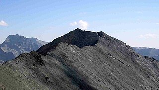
The Ambin group is a sub-range of the Cottian Alps located on the French-Italian border.
The Colle della Croce (Italian) or Col Lacroix is a pedestrian pass of the Cottian Alps.

The Punta Ramiere or Bric Froid is a mountain in the Cottian Alps belonging to the department of Hautes-Alpes (FR) and the province of Turin (IT). It's the highest peak of the long stretch of the Po/Rhone water divide starting from the Aiguille de Scolette (north) and ending with the Monviso group (south).

Mont Giusalet is a mountain in the Ambin group of the Cottian Alps in Savoie, France, near the Italian border.

The Punta Merciantaira or Grand Glaiza is a 3,293 metres high mountain of the Cottian Alps.

The Gran Queyron or Grand Queyron is a 3,060 metres high mountain of the Cottian Alps.

The Cima Mongioia or simply Mongioia or Bric de Rubren is a 3,340 metres high mountain of the Cottian Alps.

The Punta Nera is a mountain of Savoie (France) and of the Province of Turin (Italy). It lies in the Cottian Alps range. It has an elevation of 3,047 metres above sea level.
The Pointe Rochers Charniers is a mountain of the Cottian Alps at an elevation of 3,063 metres above sea level, located in France.

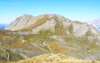
The Signal du Petit Mont-Cenis is a 3,162 m high mountain of the Cottian Alps.

The Pointe de Bellecombe is a 2,775 m high mountain of the northern Cottian Alps.

L'Aguille Rouge is a 2,545 metres high mountain of the Cottian Alps, located on the Main chain of the Alps NW of the Col de l'Échelle.
The Mont Froid is a 2,822 m high mountain of the northern Cottian Alps.
This page is based on this
Wikipedia article Text is available under the
CC BY-SA 4.0 license; additional terms may apply.
Images, videos and audio are available under their respective licenses.


